
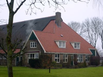
Boerderij, standaard M-type, farmhouse in Hollands Kroon, Netherlands
Location: Hollands Kroon
Address: Molenweg 27
GPS coordinates: 52.83483,4.95633
Latest update: March 4, 2025 04:36
Wieringermeer
5.2 km
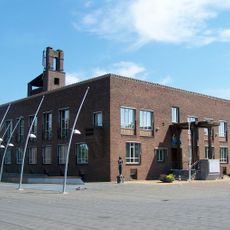
Gemeenschapsgebouw Slootdorp
3.7 km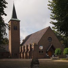
Voormalige Hervormde kerk (Middenmeer)
3.7 km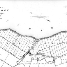
Waardpolder
4.3 km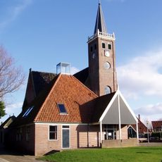
Laurenskerk
6.3 km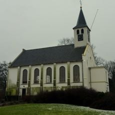
Hervormde kerk (Wieringerwaard)
6.2 km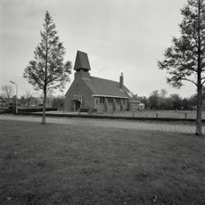
Hervormde Kerk
1.4 km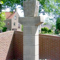
Oorlogsmonument Wieringerwerf
5 km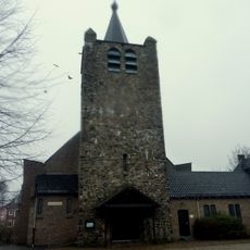
Christus Koningkerk
5 km
Pand met gepleisterde muren; zadeldak met nok evenwijdig aan de rooilijn. Houten zijgeveltopbeschietingen
6.3 km
Oude Streek 46, Kolhorn
6.2 km
Ir. Smedingplein 1, Wieringerwerf
4.7 km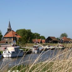
Houten Turfschuren
6.2 km
Nieuwe Streek 8, Kolhorn
6.3 km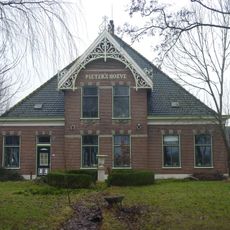
Stolpboerderij "Pieter's hoeve"
6.1 km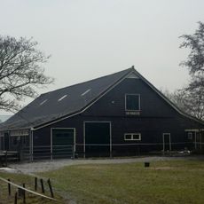
De Eerste: ontginningsschuur van het type T 4-E
4.9 km
Nieuwe Streek 20, Kolhorn
6.3 km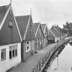
Nieuwe Streek 22, Kolhorn
6.3 km
Terrein behorende bij het complex Werkdorp Nieuwesluis
3.7 km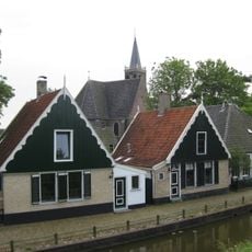
Oude Streek 44, Kolhorn
6.3 km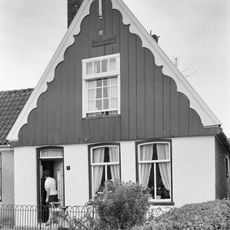
Keern 1, Kolhorn
6.2 km
Oude Streek 48, Kolhorn
6.2 km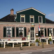
De Roode Leeuw
6.2 km
Pand onder zadeldak tegen topgevel met houten voorschot: in de top houten makelaar
6.2 km
Joods monument
3.7 km
Oosterwijk: koetshuis
5.5 km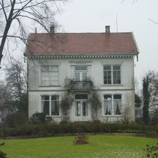
Herenhuis "Oosterwijk"
5.5 km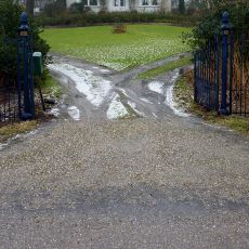
Oosterwijk: hekwerk
5.5 kmReviews
Visited this place? Tap the stars to rate it and share your experience / photos with the community! Try now! You can cancel it anytime.
Discover hidden gems everywhere you go!
From secret cafés to breathtaking viewpoints, skip the crowded tourist spots and find places that match your style. Our app makes it easy with voice search, smart filtering, route optimization, and insider tips from travelers worldwide. Download now for the complete mobile experience.

A unique approach to discovering new places❞
— Le Figaro
All the places worth exploring❞
— France Info
A tailor-made excursion in just a few clicks❞
— 20 Minutes