
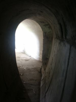
Fort Sabina, Schiffsschleuse? in den Niederlanden
Location: Moerdijk
Part of: Sabina Henrica Fort
Address: Noorden/westen van fort
GPS coordinates: 51.67864,4.39721
Latest update: March 5, 2025 16:12
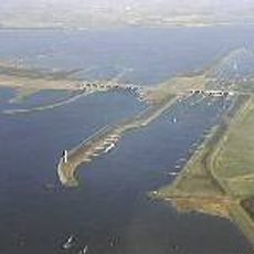
Volkerak locks
1.3 km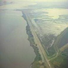
Volkerakdam
1.4 km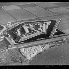
Sabina Henrica Fort
239 m
Mauritshuis
3.1 km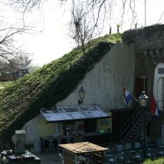
Fort de Hel
1.8 km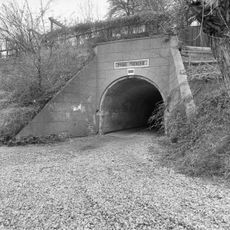
Fort Prins Frederik
2.4 km
Nederlands Hervormde Kerk, Willemstad
3.2 km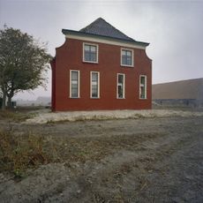
Hofstede Helwijk
1.8 km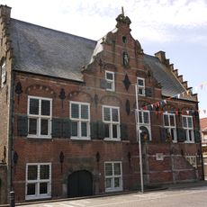
Stadhuis, Ooltgensplaat
3.2 km
Steenpad 3, Willemstad
2.7 km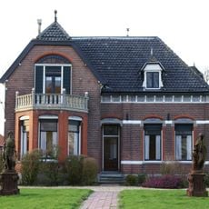
Moria
2.6 km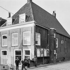
Voorstraat 2, Ooltgensplaat
3.2 km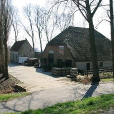
Kraaiendijk 12, Heijningen
1.8 km
Kerkring 25
3.2 km
Kerkring 37
3.1 km
Weeghuisje
3.1 km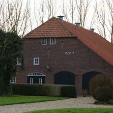
Moria
2.6 km
Moria
2.6 km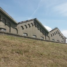
Fort Sabina: Lagerschuppen
0 m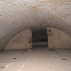
Fort Sabina
0 m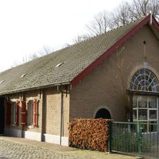
Affuitloods
3.1 km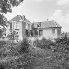
Oude Heijningsedijk 54, Heijningen
2 km
Kerkring 27, Willemstad
3.2 km
Kruitmagazijn
3 km
Voorstraat 6, Ooltgensplaat
3.2 km
Kerkring 44
3.1 km
Kerkring 42
3.1 km
Huis in gele baksteen onder dwars zadeldak
3.2 kmVisited this place? Tap the stars to rate it and share your experience / photos with the community! Try now! You can cancel it anytime.
Discover hidden gems everywhere you go!
From secret cafés to breathtaking viewpoints, skip the crowded tourist spots and find places that match your style. Our app makes it easy with voice search, smart filtering, route optimization, and insider tips from travelers worldwide. Download now for the complete mobile experience.

A unique approach to discovering new places❞
— Le Figaro
All the places worth exploring❞
— France Info
A tailor-made excursion in just a few clicks❞
— 20 Minutes