Enable Location

We need your location to show you interesting places around you

Discover nearby places

Find interesting locations and hidden gems around you

Precise directions

Get accurate directions and distances to places

Your location is never shared with other users. It's only used when you tap the location button.

Lunetten op de Houtense Vlakte

Log in to your account

Start exploring — it's free

Trusted by 63,230 travelers worldwide

Continue with Google
Continue with Apple
or

We will send you a code to connect

By continuing, you accept our Terms and Conditions and our Privacy Policy

Check your inbox

We've sent a pincode in your inbox. Please enter the code below.

Lunetten op de Houtense Vlakte
Discussion Reviews 1 Photos
2.6k Popularity

Lunetten op de Houtense Vlakte, Military fortification complex in Utrecht, Netherlands

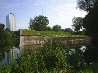
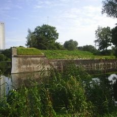
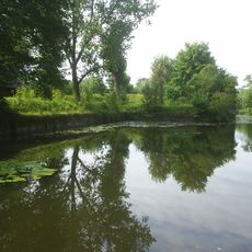
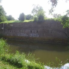
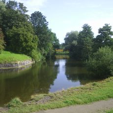
Lunetten op de Houtense Vlakte consists of four identical crescent-shaped fortifications built on raised ground near Utrecht. These structures are connected and form an integrated defensive system with water-filled moats and earth ramparts.

The fortifications were built between 1819 and 1826 as part of the New Dutch Waterline, a defense system designed to protect Utrecht from attack. This construction period followed the Napoleonic Wars when the country reinforced its defenses.

The fortifications display Dutch military design through their combination of water systems and defensive structures. These crescent-shaped forts were built to work together as part of a coordinated protection strategy for the region.

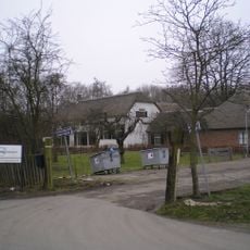
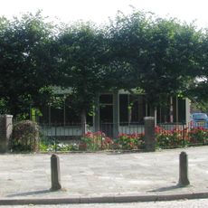
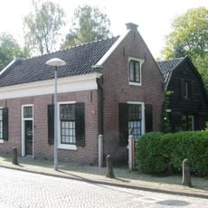
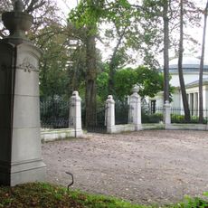
The four forts are accessible on foot and open for visits throughout the year. Some buildings now house community organizations, so certain areas may have limited access during their activities.

Fort Lunet I contains an atomic shelter built in the 1950s that served as a Civil Defense command center during the Cold War. This underground structure is a rare example of Cold War-era protection planning.

The community of curious travelers

AroundUs brings together thousands of curated places, local tips, and hidden gems, enriched daily by 60,000 contributors worldwide.

Start exploring
Location
Part of
New Dutch Waterline
GPS coordinates
52.07250,5.14139
Latest update
December 12, 2025 17:47
Reviews
Share your experience

No review yet

Discussions
Start a discussion...

No discussion yet

« Lunetten op de Houtense Vlakte - Military fortification complex in Utrecht, Netherlands » is provided by Around Us (aroundus.com). Images and texts are derived from Wikimedia project under a Creative Commons license. You are allowed to copy, distribute, and modify copies of this page, under the conditions set by the license, as long as this note is clearly visible.

Discover hidden gems everywhere you go!

From secret cafés to breathtaking viewpoints, skip the crowded tourist spots and find places that match your style. Our app makes it easy with voice search, smart filtering, route optimization, and insider tips from travelers worldwide. Download now for the complete mobile experience.

Around Us App Screenshot

A unique approach to discovering new places

Le Figaro

All the places worth exploring

France Info

A tailor-made excursion in just a few clicks

20 Minutes

Around Us
Travel Guide & Maps
Download

Send to your phone

QR Code
1

Open the camera app on your mobile.

2

Point at the QR code with your camera. A notification will appear.

3

Tap the notification to open the link.