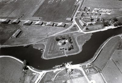
Fort aan het Schiphol, Military fortress in Haarlemmermeer, Netherlands
This fortress was a stone defensive structure located at the intersection of strategic waterways with thick protective walls and a central tower. The building had a clear military design meant to monitor and guard the important shipping routes of that era.
The structure was constructed in 1846 as part of Amsterdam's defense line. It was abandoned in 1926 and completely demolished in 1934, with the site later becoming part of Schiphol Airport.
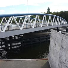
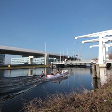
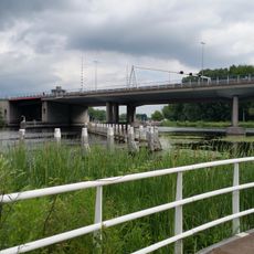
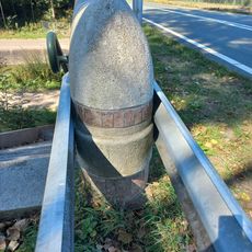
The name originates from a time when the area was dominated by water and numerous ships sank in the region. Today visitors walking or cycling through recall this maritime past when they encounter the information markers along the path.
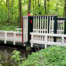
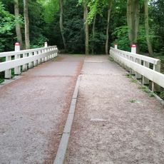
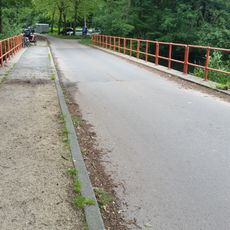
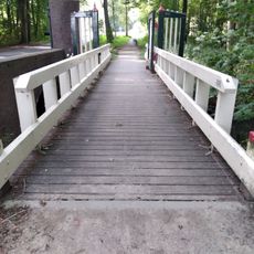
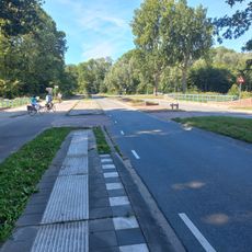
The site is today accessed mainly via a bicycle path with twenty information poles running along the Ringvaart canal. The location can be visited at any time of year and requires no special preparations.
The fort disappeared below ground when the polder project filled and raised the land after its destruction. Today only the information markers remind visitors of a structure that once stood above the surface but is now completely hidden from view.
The community of curious travelers
AroundUs brings together thousands of curated places, local tips, and hidden gems, enriched daily by 60,000 contributors worldwide.