
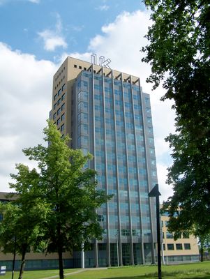
IK, public artwork in Utrecht, the Netherlands
Location: Utrecht
Inception: 2003
Creator: Jan van Munster
Part of: Sleutelwerken
GPS coordinates: 52.08624,5.11432
Latest update: March 13, 2025 02:57
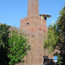
De Inktpot
128 m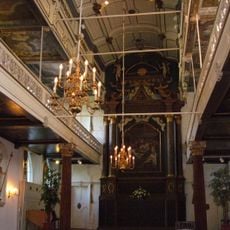
Clandestine church
342 m
St. Gertrude's Cathedral
336 m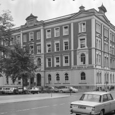
Hoofdgebouw I
259 m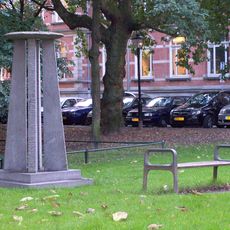
Moreelsepark
207 m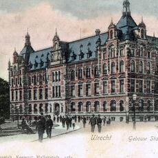
Hoofdgebouw II
195 m
Moreelsebrug
280 m
Sterrenbos
105 m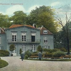
Park Nieuweroord
66 m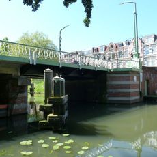
Bartholomeusbrug, Utrecht
329 m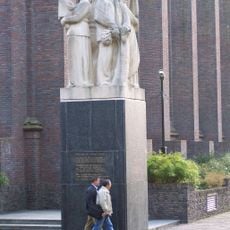
Monument voor Gevallen Spoorwegpersoneel
195 m
Sterrehof
77 m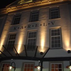
Grand Restaurant Karel V
332 m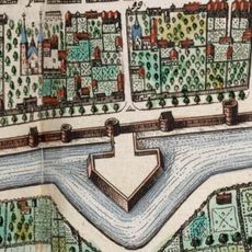
Mariabolwerk
252 m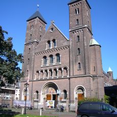
Oud-Katholieke Kerk St. Gertrudis
310 m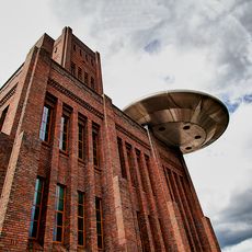
UFO Zover
163 m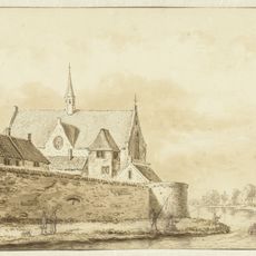
Kapel Duitse Huis
323 m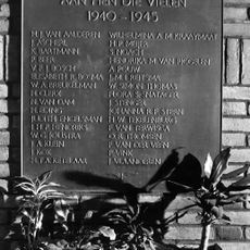
Plaquette in ‘De Inktpot’
204 m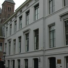
Mariahoek 6, Utrecht
331 m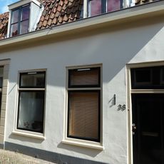
Zilverstraat 38, Utrecht
339 m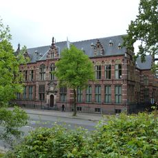
Catharijnesingel 61, Utrecht
164 m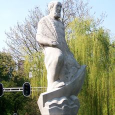
Saint Bartholomew
308 m
Kruisvaartkade
297 m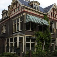
Willemsplantsoen 3, Utrecht
301 m
Industrie-Huishoudschool
146 m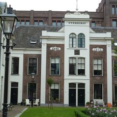
Sterrehof, woonblok A
71 m
Mariahoek 11, Utrecht
339 m
Sterrehof, Woonblok C
85 mReviews
Visited this place? Tap the stars to rate it and share your experience / photos with the community! Try now! You can cancel it anytime.
Discover hidden gems everywhere you go!
From secret cafés to breathtaking viewpoints, skip the crowded tourist spots and find places that match your style. Our app makes it easy with voice search, smart filtering, route optimization, and insider tips from travelers worldwide. Download now for the complete mobile experience.

A unique approach to discovering new places❞
— Le Figaro
All the places worth exploring❞
— France Info
A tailor-made excursion in just a few clicks❞
— 20 Minutes