
Annexatiemonument, monument in Eindhoven, Netherlands
Location: Eindhoven
Inception: December 31, 1919
GPS coordinates: 51.42980,5.48691
Latest update: March 6, 2025 21:53


Parktheater Eindhoven
183 m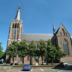
St. Joriskerk
64 m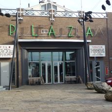
Plaza Futura
335 m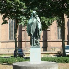
Statue of Sacred Heart of Jesus Christ
66 m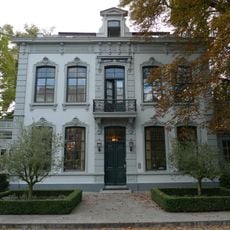
Stratumsedijk 26, Eindhoven
355 m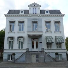
Stratumsedijk 20, Eindhoven
477 m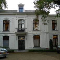
Stratumsedijk 24, Eindhoven
382 m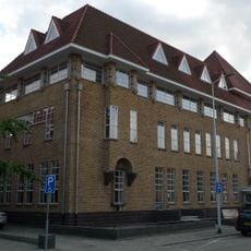
Klooster en school Jan Smitzlaan Eindhoven
426 m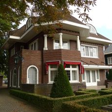
Villa in het villapark Den Elzent in Expressionistische vormentaal. De villa is tegenwoordig in gebruik als kantoor
262 m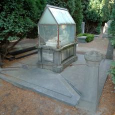
Graftombe Familie De Bock
336 m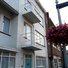
Witte Dorp
463 m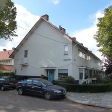
Witte Dorp: rij tweelaags panden
452 m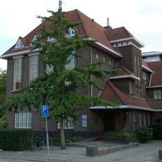
Voormalig klooster bij huishoudschool St. Martha, later gezondheidscentrum
426 m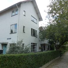
Witte Dorp: rij tweelaags panden
468 m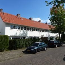
Witte Dorp: rij tweelaags panden
438 m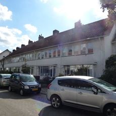
Witte Dorp
425 m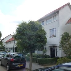
Witte Dorp
477 m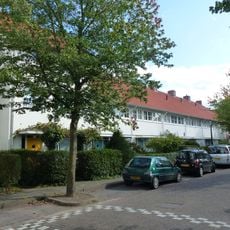
St. Jorislaan 1-15, Witte Dorp
437 m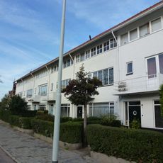
Witte Dorp
446 m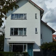
Witte Dorp
449 m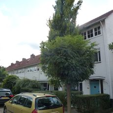
Witte Dorp
478 m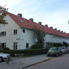
Witte Dorp
478 m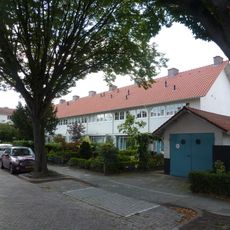
Witte Dorp
442 m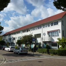
Witte Dorp
455 m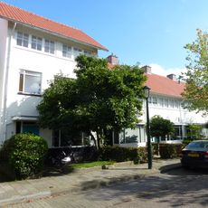
Witte Dorp
434 m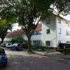
Witte Dorp: rij tweelaags panden
430 m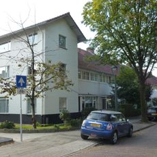
Witte Dorp: rij tweelaags panden
445 m
Sint Joriscollege
476 mReviews
Visited this place? Tap the stars to rate it and share your experience / photos with the community! Try now! You can cancel it anytime.
Discover hidden gems everywhere you go!
From secret cafés to breathtaking viewpoints, skip the crowded tourist spots and find places that match your style. Our app makes it easy with voice search, smart filtering, route optimization, and insider tips from travelers worldwide. Download now for the complete mobile experience.

A unique approach to discovering new places❞
— Le Figaro
All the places worth exploring❞
— France Info
A tailor-made excursion in just a few clicks❞
— 20 Minutes