Enable Location

We need your location to show you interesting places around you

Discover nearby places

Find interesting locations and hidden gems around you

Precise directions

Get accurate directions and distances to places

Your location is never shared with other users. It's only used when you tap the location button.

Værøy

Log in to your account

Save your favorite places
Create custom travel routes
Rate and review places
Access the full interactive map
Continue with Google
Continue with Apple
Continue with email
By continuing, you accept our Terms and Conditions and our Privacy Policy
Create an account
Add to collection
Map
Suggest a change
Share

Værøy, Island municipality in Nordland, Norway

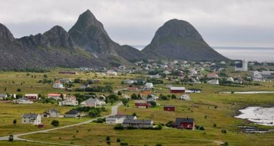
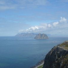
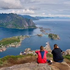
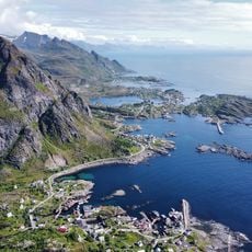
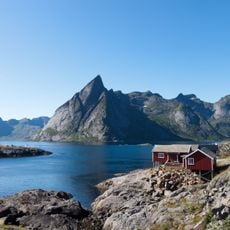
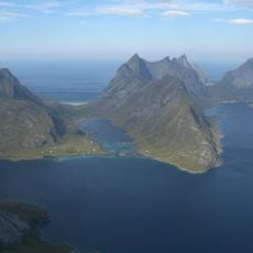
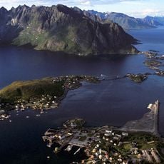
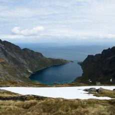
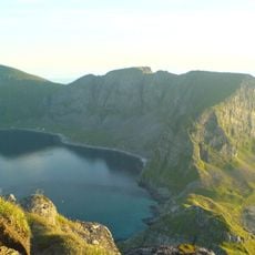
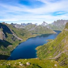
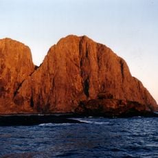
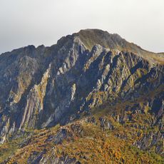
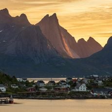
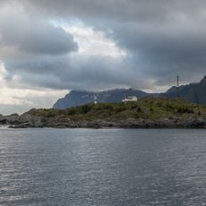
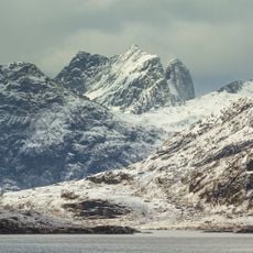
Værøy is an island municipality in the southern Lofoten archipelago, situated between Røstlandet and Moskenesøya and covering roughly 16 square kilometers. The highest point, Nordlandsnupen, rises to about 450 meters and shapes the dramatic outline visible from the water.

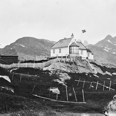
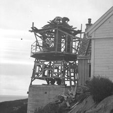
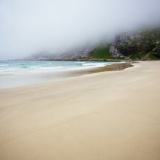
The municipality was established in 1838, with its name deriving from Old Norse meaning 'weather island' or 'storm island'. This name origin reflects the harsh maritime climate that has always defined life here.

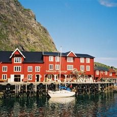
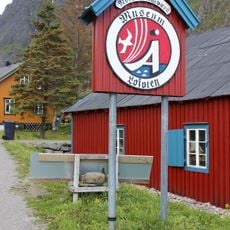
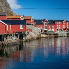
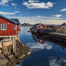
Fishing shapes daily life here, with boats and gear visible throughout the settlements and dried fish racks appearing on hillsides and near the shore. The work connects residents to the sea in a way that feels woven into everything you see when walking around.

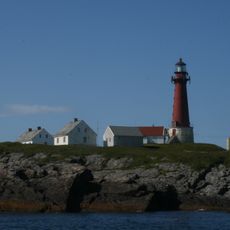
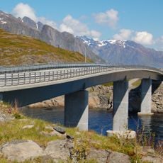
Ferry services from Moskenes and helicopter flights from Bodø provide the main access to the island, with regular schedules depending on conditions. Accommodation and basic supplies are available in the settlements, though the maritime weather can sometimes affect travel reliability.

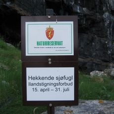
Large colonies of Atlantic puffins and black-legged kittiwakes make their home here, particularly during the warmer months when they fill the skies and cliff faces. This abundance of seabirds transforms the island into a gathering place for birdwatchers and creates an ever-present sense of movement overhead.

Location: Nordland

Inception: January 1, 1838

Capital city: Sørland

Shares border with: Moskenes, Røst

Address: Værøya, Værøy Municipality, Norway

Website: https://varoy.kommune.no

GPS coordinates: 67.67306,12.66917

Latest update: December 6, 2025 16:03

Photos
Discover the Lofoten Islands in Norway

The Lofoten Islands are an archipelago in northern Norway where steep mountain peaks rise directly from the sea. The islands are connected by bridges and ferries, making them accessible for exploration. White sandy beaches stretch along the coastline, while small fishing villages preserve red and...

Reviews

Visited this place? Tap the stars to rate it and share your experience / photos with the community! Try now! You can cancel it anytime.

« Værøy - Island municipality in Nordland, Norway » is provided by Around Us (aroundus.com). Images and texts are derived from Wikimedia project under a Creative Commons license. You are allowed to copy, distribute, and modify copies of this page, under the conditions set by the license, as long as this note is clearly visible.

Discover hidden gems everywhere you go!

From secret cafés to breathtaking viewpoints, skip the crowded tourist spots and find places that match your style. Our app makes it easy with voice search, smart filtering, route optimization, and insider tips from travelers worldwide. Download now for the complete mobile experience.

Around Us App Screenshot

A unique approach to discovering new places

Le Figaro

All the places worth exploring

France Info

A tailor-made excursion in just a few clicks

20 Minutes