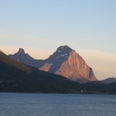
Saltfjellet–Svartisen National Park, National park with glaciers and mountains in Nordland, Norway.
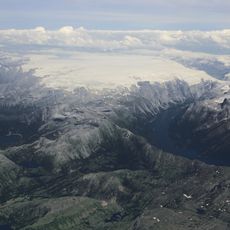
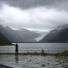
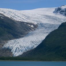
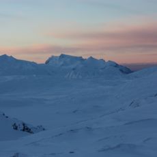
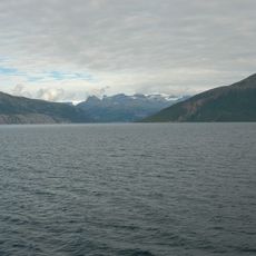
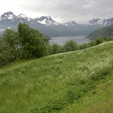
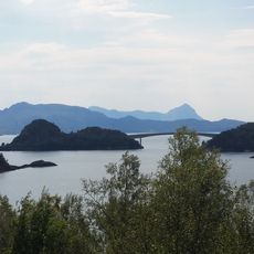
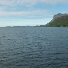
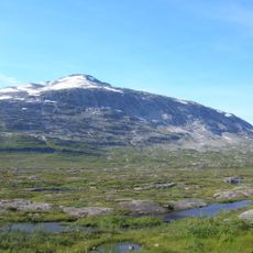
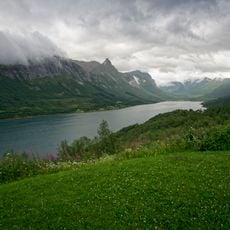
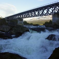
Saltfjellet-Svartisen National Park is a protected area in Nordland, Norway, covering parts of several municipalities and dominated by the Svartisen glacier, one of the largest ice bodies on the Norwegian mainland. The terrain shifts between open mountain plateaus, deep fjords, and wide birch forests that reach close to the glacier's edge.
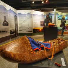
People lived and hunted in this area thousands of years before the park was officially established in 1989, as shown by traces of ancient camps and settlements found across the terrain. Different communities followed one another here over many centuries, each leaving behind marks that are still read in the land today.
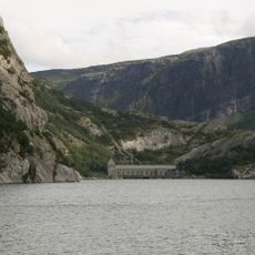
The Sami people have herded reindeer across these highlands for centuries, and their seasonal routes are still in use today. Along the valleys and coast, fishing families shaped small settlements that remain visible in the way the land is organized.
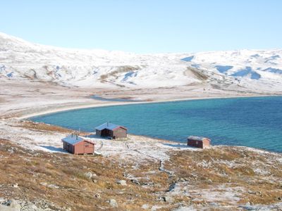
The park has several entry points, and marked trails lead to mountain cabins run by hiking associations where overnight stays are possible. Guided walks onto the glacier require advance booking and special equipment, so it is worth planning those outings well ahead of your visit.
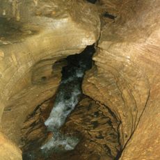
Below the Svartisen glacier lies a network of caves carved through limestone by meltwater, and researchers regularly explore these underground passages. Some of the chambers can only be reached through flooded tunnels, which makes this one of the few glacial cave systems in Europe still being actively studied.
The community of curious travelers
AroundUs brings together thousands of curated places, local tips, and hidden gems, enriched daily by 60,000 contributors worldwide.