
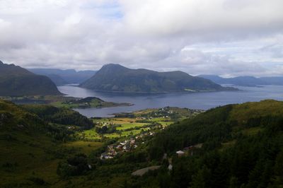
Selje, former municipality in Sogn og Fjordane, Norway
Location: Sogn og Fjordane
Capital city: Selje
Website: http://www.selje.kommune.no/
Shares border with: Vanylven, Vågsøy Municipality, Sande
Website: http://selje.kommune.no
GPS coordinates: 62.13722,5.22306
Latest update: April 10, 2025 17:50
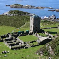
Selje Abbey
10.3 km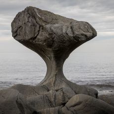
Kannesteinen
20.3 km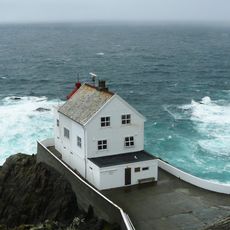
Kråkenes Lighthouse
16.9 km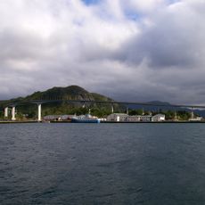
Måløy Bridge
23.7 km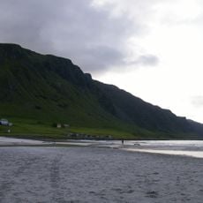
Refviksanden
16.7 km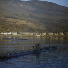
HMS Seadog
10 km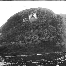
Hendanes Lighthouse
21.6 km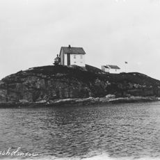
Haugsholmen Lighthouse
9.1 km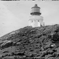
Svinøy Lighthouse
21.7 km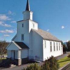
Åram Church
15.5 km
Vanylvsfjorden
7 km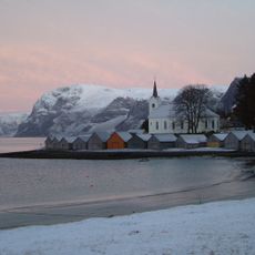
Selje Church
11.8 km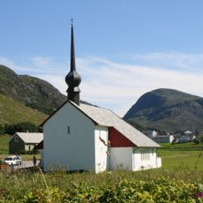
Ervik Church
6.5 km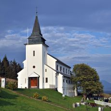
Nord-Vågsøy Church
17 km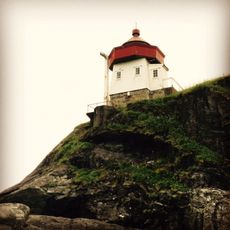
Skongenes Lighthouse
12.8 km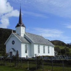
Sande Church
16.2 km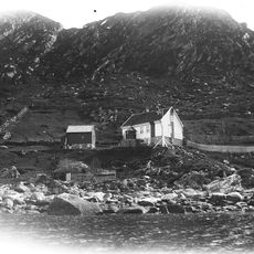
Ulvesund Lighthouse
17.2 km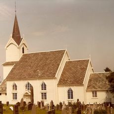
Leikanger Church
5 km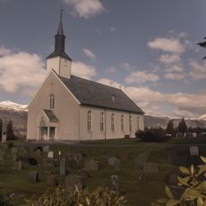
Vanylven Church
17.2 km
Moldefjord (Selje)
14 km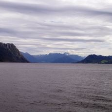
Rovdefjorden
18.1 km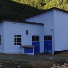
Skorge power station
19.7 km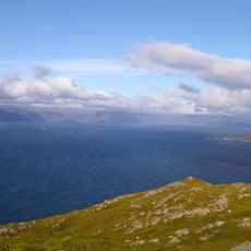
Sildegapet
8.6 km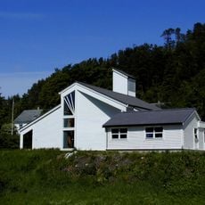
Larsnes Church
19.9 km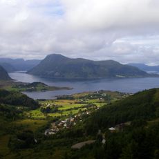
Røysetfjorden
12.2 km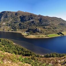
Refvikvatnet
17.8 km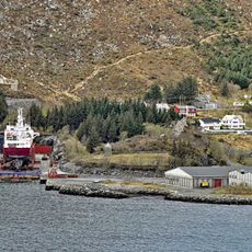
Kapellneset kirkested
18.9 km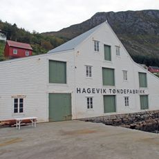
Hagevik tønnefabrikk
19.7 kmReviews
Visited this place? Tap the stars to rate it and share your experience / photos with the community! Try now! You can cancel it anytime.
Discover hidden gems everywhere you go!
From secret cafés to breathtaking viewpoints, skip the crowded tourist spots and find places that match your style. Our app makes it easy with voice search, smart filtering, route optimization, and insider tips from travelers worldwide. Download now for the complete mobile experience.

A unique approach to discovering new places❞
— Le Figaro
All the places worth exploring❞
— France Info
A tailor-made excursion in just a few clicks❞
— 20 Minutes