
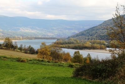
Sør-Fron Municipality, municipality in Innlandet, Norway
Location: Innlandet
Inception: January 1, 1977
Capital city: Hundorp
Website: https://www.sor-fron.kommune.no/
Shares border with: Nord-Fron, Sel Municipality, Folldal, Stor-Elvdal Municipality, Ringebu Municipality, Gausdal Municipality, Øystre Slidre Municipality
Website: https://sor-fron.kommune.no
GPS coordinates: 61.56889,9.92333
Latest update: March 2, 2025 23:11
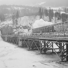
Randklev Railway Bridge
12.9 km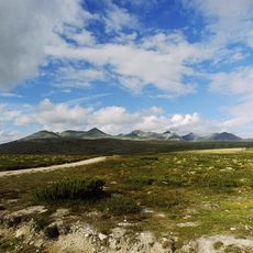
Rondane National Park
31.4 km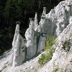
Kvitskriuprestan
31.8 km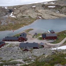
Rondvassbu
35.1 km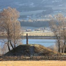
Dale-Gudbrand's farm
3.2 km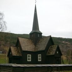
Heidal Church
37 km
Storronden
36.1 km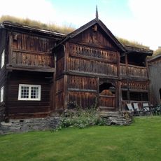
Søre Harildstad
38.2 km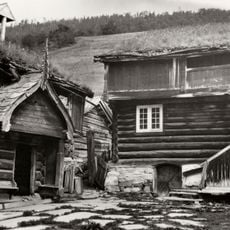
Bjølstad Farm
39.9 km
Jutulhogget
35 km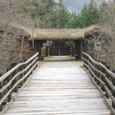
Jørundgard Middelaldersenter
40.3 km
Vinjeronden
37.5 km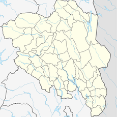
Pillarguritoppen
29.8 km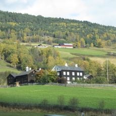
Sygard Grytting
1.8 km
Storsmeden
39.1 km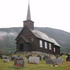
Nord-Sel Church
41 km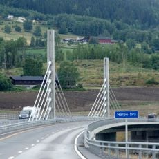
Harpe Bridge
2.6 km
Fron badeland
3.4 km
Espedalen fjellkirke
27.2 km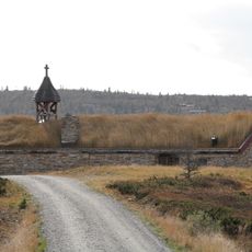
Venabygd fjellkapell
12.7 km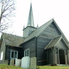
Skåbu Church
27.3 km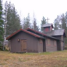
Sjoa kapell
23.5 km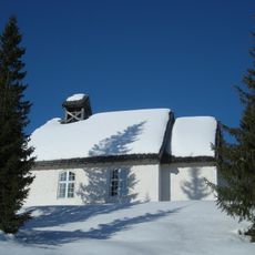
Skei fjellkirke
26.3 km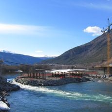
Lågen bru
16.6 km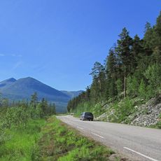
Atnsjømyrene
38.6 km
Otta bykirke
30.4 km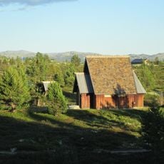
Rossbu kapell
38.9 km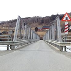
Hundorp Bridge
3.5 kmReviews
Visited this place? Tap the stars to rate it and share your experience / photos with the community! Try now! You can cancel it anytime.
Discover hidden gems everywhere you go!
From secret cafés to breathtaking viewpoints, skip the crowded tourist spots and find places that match your style. Our app makes it easy with voice search, smart filtering, route optimization, and insider tips from travelers worldwide. Download now for the complete mobile experience.

A unique approach to discovering new places❞
— Le Figaro
All the places worth exploring❞
— France Info
A tailor-made excursion in just a few clicks❞
— 20 Minutes