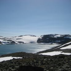
Aurlandsdalen, Mountain valley in Aurland Municipality, Norway
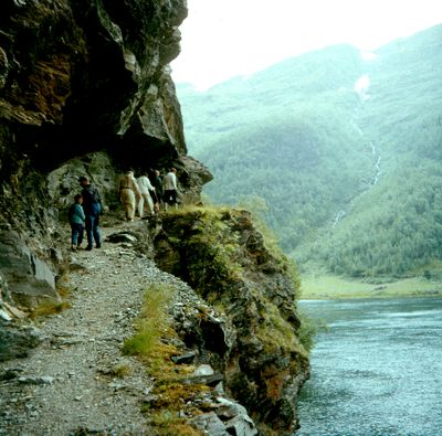
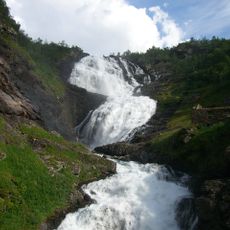
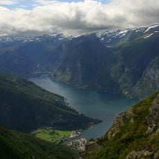
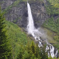
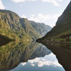
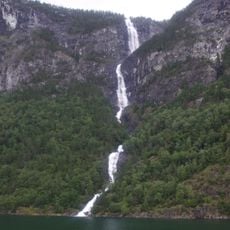
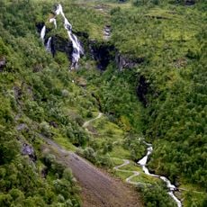
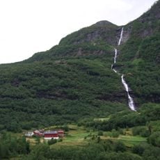
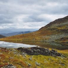
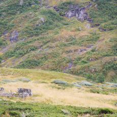
Aurlandsdalen is a deep mountain valley in Aurland that winds between towering rock faces, waterfalls, and steep cliffs. The floor opens into grassy areas where streams run, and the terrain slopes gradually downward from one end to the other.
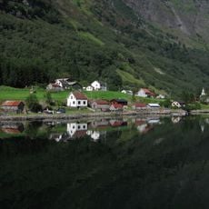
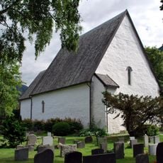
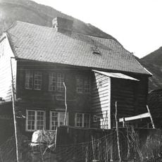
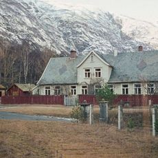
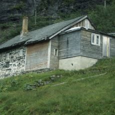
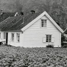
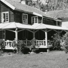
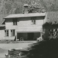
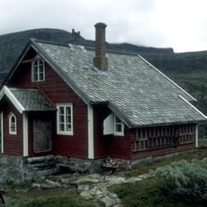
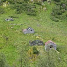
The valley served as a key passage for travel between eastern and western regions of Norway for centuries. Most farms here were abandoned in the late 1800s when new roads made this route unnecessary.
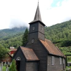
The scattered farmsteads throughout the valley show how Norwegian mountain communities organized their lives around seasonal grazing and farming. The buildings sit quietly in the landscape, speaking to generations who shaped this remote terrain.
The best time to hike is July through September when the weather is more stable and paths are clear. Proper hiking boots are essential, and starting early in the day gives you plenty of time to cover the distance.
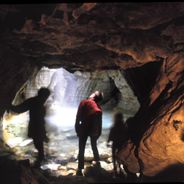
A striking underground formation called Vetlahelvete was carved by glacial forces and sits along the trail, with its opening large enough to let daylight pour through. Few visitors expect to encounter such a dramatic geological feature in the middle of the hike.
The community of curious travelers
AroundUs brings together thousands of curated places, local tips, and hidden gems, enriched daily by 60,000 contributors worldwide.