Østre Svartisen, Gletscher in Norwegen
Location: Meløy Municipality
Location: Rana Municipality
Part of: Svartisen
GPS coordinates: 66.57776,14.18884
Latest update: October 27, 2025 09:14
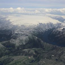
Svartisen
10.4 km
Saltfjellet–Svartisen National Park
2.5 km
Glomfjord power station
25.8 km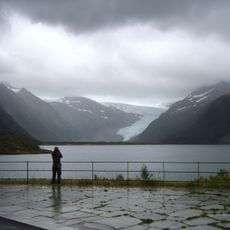
Engabreen
23.6 km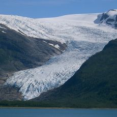
Vestre Svartisen
14.5 km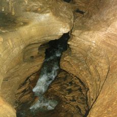
Grønligrotta
18.7 km
Marmorslottet i Rana
16.5 km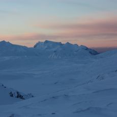
Láhko National Park
29.4 km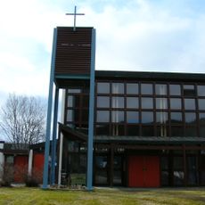
Selfors Church
28.1 km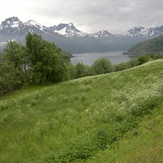
Holandsfjorden (fyord sa Noruwega)
29.8 km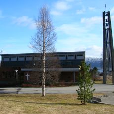
Ytteren Church
26 km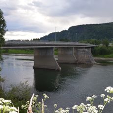
Selforsbrua
28.4 km
Rana bibliotek
29.7 km
Studiested Kongsvegen
29.6 km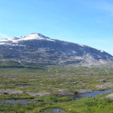
Høgtuva peak
26.2 km
Tårnbygget (Mo i Rana)
29.6 km
Rana Produkter AS
28.9 km
Rana Museum - Cultural History Department
29.6 km
Fykanvatn
25.2 km
Fykanvatnet (1 og 2)
25.4 km
Langvatnet
23 km
Statue, Work of art
28.9 km
Scenic viewpoint
22.9 km
Scenic viewpoint
22.3 km
Braset
27.5 km
Viewpoint & Parking
22.1 km
Scenic viewpoint
22.7 km
Varde
22.5 kmReviews
Visited this place? Tap the stars to rate it and share your experience / photos with the community! Try now! You can cancel it anytime.
Discover hidden gems everywhere you go!
From secret cafés to breathtaking viewpoints, skip the crowded tourist spots and find places that match your style. Our app makes it easy with voice search, smart filtering, route optimization, and insider tips from travelers worldwide. Download now for the complete mobile experience.

A unique approach to discovering new places❞
— Le Figaro
All the places worth exploring❞
— France Info
A tailor-made excursion in just a few clicks❞
— 20 Minutes