
Svarteberget, جرف في فريدريكستاد، النرويج
Location: Fredrikstad Municipality
Elevation above the sea: 6 m
GPS coordinates: 59.22844,10.68429
Latest update: July 30, 2025 03:17
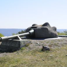
Bolærne Fort
7 km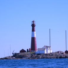
Færder National Park
13.2 km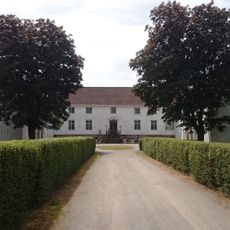
Elingaard Manor
7.2 km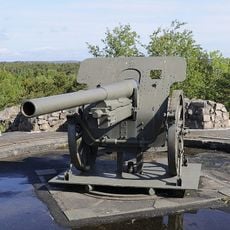
Torgauten fort
11 km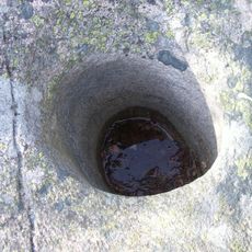
Mærrapanna
7.5 km
Ytre Oslofjord
6.4 km
Fulehuk Lighthouse
7.6 km
Vallø Church
11.4 km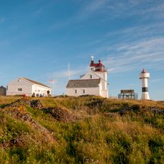
Struten Lighthouse
12.7 km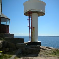
Phare de Strømtangen
11.9 km
Huth Fort
12.6 km
Kjølberg Herregård
12.6 km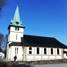
Onsøy Church
10 km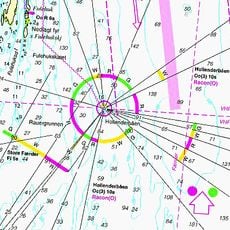
Hollenderbåen
8.3 km
Foten
10.6 km
Kurefjorden
10 km
Gressvik Church
12.3 km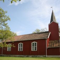
Tomb Church
12.6 km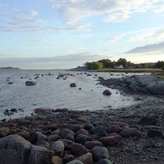
Kurefjorden
11.9 km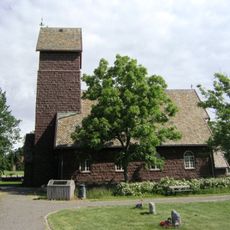
Husøy Church
12.6 km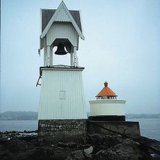
Phare de Torgersøy
10.8 km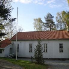
Larkollen Church
11.6 km
Grevestuen
7.5 km
Jarlsøbrua
12.2 km
Karlsvika
12.4 km
Furustrand
12.1 km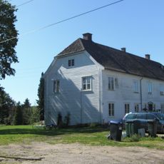
Onsøy prestegård
11.1 km
Forsvarsanlegg
11.2 kmReviews
Visited this place? Tap the stars to rate it and share your experience / photos with the community! Try now! You can cancel it anytime.
Discover hidden gems everywhere you go!
From secret cafés to breathtaking viewpoints, skip the crowded tourist spots and find places that match your style. Our app makes it easy with voice search, smart filtering, route optimization, and insider tips from travelers worldwide. Download now for the complete mobile experience.

A unique approach to discovering new places❞
— Le Figaro
All the places worth exploring❞
— France Info
A tailor-made excursion in just a few clicks❞
— 20 Minutes