
Vilgesbákti, جرف في ألتا، النرويج
Location: Alta
Elevation above the sea: 14 m
GPS coordinates: 70.35406,23.04591
Latest update: May 16, 2025 12:34
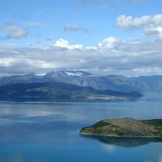
Altafjord
41.9 km
Royal and Ancient Polar Bear Society
41.8 km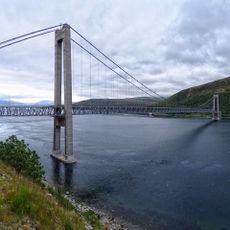
Kvalsund Bridge
38.1 km
Seiland National Park
5.6 km
Øksfjordjøkelen
42.9 km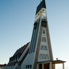
Hammerfest Church
41.5 km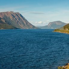
Langfjorden
26.9 km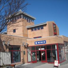
Museum of Reconstruction
41.6 km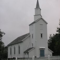
Talvik Church
34.9 km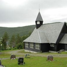
Komagfjord Church
17.5 km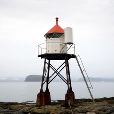
Fuglenes Lighthouse
41.6 km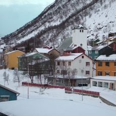
Øksfjord Church
29 km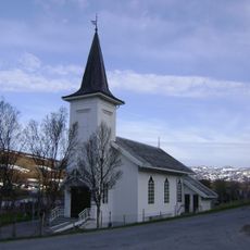
Kvalsund Church
38.4 km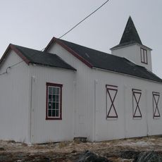
Dønnesfjord Church
36.3 km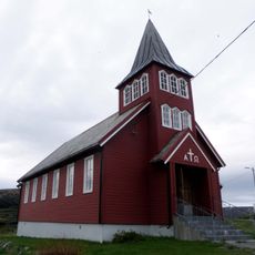
Breivikbotn Chapel
38.3 km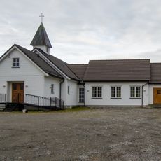
Rafsbotn Chapel
41.7 km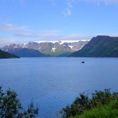
Øksfjorden, Loppa
30.9 km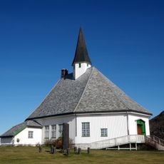
Hasvik Church
36.5 km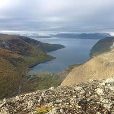
Skillefjorden
22 km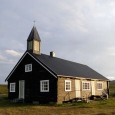
Sennalandet kapell
40.6 km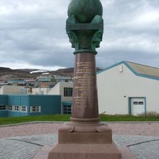
Fuglenes survey marker
42 km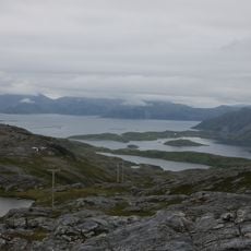
Dønnesfjorden
37.9 km
Rognsund Church
3 km
Akkarfjorden
35.2 km
Storekorsnes Kapel
16.6 km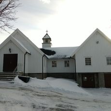
Indrefjord kapell
39.1 km
Altagård
43.8 km
Hasfjorden
33.3 kmReviews
Visited this place? Tap the stars to rate it and share your experience / photos with the community! Try now! You can cancel it anytime.
Discover hidden gems everywhere you go!
From secret cafés to breathtaking viewpoints, skip the crowded tourist spots and find places that match your style. Our app makes it easy with voice search, smart filtering, route optimization, and insider tips from travelers worldwide. Download now for the complete mobile experience.

A unique approach to discovering new places❞
— Le Figaro
All the places worth exploring❞
— France Info
A tailor-made excursion in just a few clicks❞
— 20 Minutes