
Brudeberget, جرف في فيت، النرويج
Location: Lillestrøm Municipality
Elevation above the sea: 122 m
GPS coordinates: 59.89811,11.17727
Latest update: April 9, 2025 23:14

Fetsund Booms
2.9 km
Rudskulen
8.3 km
Bjønnåsen
8 km
Lørenskog Church
11.1 km
Fetsund Bridge
3.4 km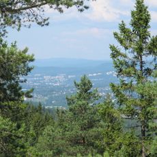
Ramstadslottet
7.6 km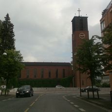
Lillestrøm Church
9.9 km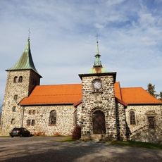
Strømmen Church
10.9 km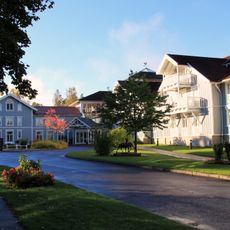
Losby Gods
11 km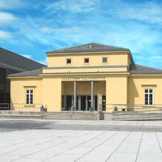
Lillestrøm Kultursenter
9.8 km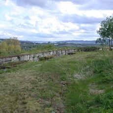
Fetsund Battery
3.7 km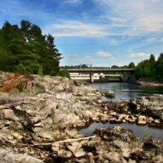
Bingsfossen
11.1 km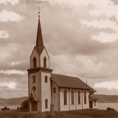
Rælingen Church
5.8 km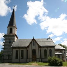
Fet Church
1.9 km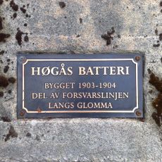
Høgaas batteri
2 km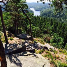
Østmarka
10.8 km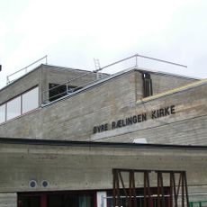
Øvre Rælingen Church
9.6 km
Hektner
4.4 km
Dalen Church
4.7 km
Sørumsneset
7.5 km
Besøkssenter våtmark Nordre Øyeren
2.9 km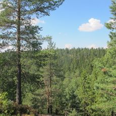
Ramstadslottet
7.9 km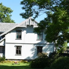
Fet prestegård
2 km
Kurland
9.5 km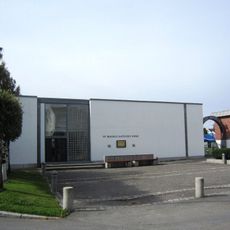
St. Magnus Church
9.7 km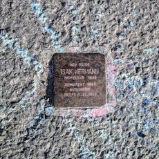
Stolperstein dedicated to Isak Kermann
10.5 km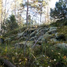
Skansen
9.3 km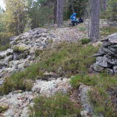
Vesteråsen
9.2 kmReviews
Visited this place? Tap the stars to rate it and share your experience / photos with the community! Try now! You can cancel it anytime.
Discover hidden gems everywhere you go!
From secret cafés to breathtaking viewpoints, skip the crowded tourist spots and find places that match your style. Our app makes it easy with voice search, smart filtering, route optimization, and insider tips from travelers worldwide. Download now for the complete mobile experience.

A unique approach to discovering new places❞
— Le Figaro
All the places worth exploring❞
— France Info
A tailor-made excursion in just a few clicks❞
— 20 Minutes