Enable Location

We need your location to show you interesting places around you

Discover nearby places

Find interesting locations and hidden gems around you

Precise directions

Get accurate directions and distances to places

Your location is never shared with other users. It's only used when you tap the location button.

Tuguegarao

Log in to your account

Start exploring — it's free

Trusted by 62,091 travelers worldwide

Continue with Google
Continue with Apple
or

We will send you a code to connect

By continuing, you accept our Terms and Conditions and our Privacy Policy

Check your inbox

We've sent a pincode in your inbox. Please enter the code below.

Tuguegarao

Tuguegarao, Regional administrative center in Cagayan Valley, Philippines.

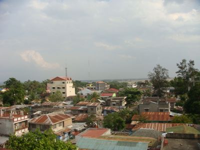
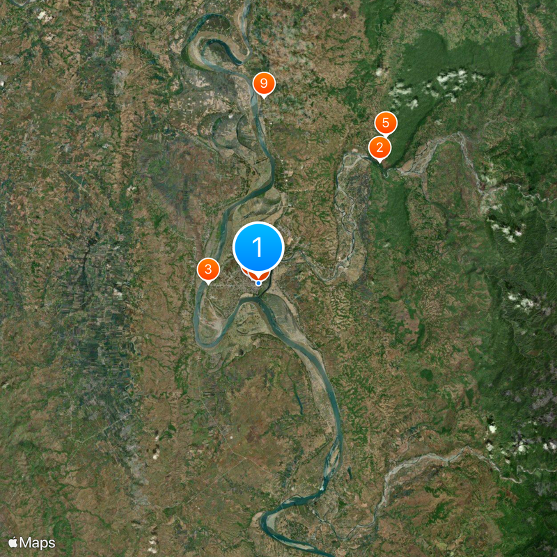
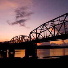
Tuguegarao stretches between the Sierra Madre Mountains and Cordillera Mountains, where the Pinacanauan River joins the Cagayan River. The Regional Government Center on Enrile Boulevard houses administrative offices and maintains 24-hour emergency response services through the City Command Center.

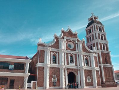
The settlement was established in 1604 by Dominican missionary Tomas Villa. It gained prominence as the provincial capital of Cagayan in 1839 with the opening of Manila Road.

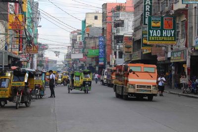
The name comes from the Ibanag language and refers to the original land clearing method. The Pavvurulun Afi Festival brings together students and residents for street dancing performances and competitions honoring Saint Jacinto de Polonia.

The area sits between two mountain ranges at about 120 meters (394 feet) elevation, where two rivers meet. Main administrative buildings and public facilities are located along Enrile Boulevard and in the government district.

The city name Tuguegarao combines the Ibanag words Tuggi, gari and yaw. This word combination describes the technique the first settlers used to clear forest land for cultivation.

The community of curious travelers

AroundUs brings together thousands of curated places, local tips, and hidden gems, enriched daily by 60,000 contributors worldwide.

Start exploring
Location
Inception
May 9, 1604
Elevation above the sea
120 m
Shares border with
Solana, San Pablo
GPS coordinates
17.61333,121.73028
Latest update
December 13, 2025 15:49
« Tuguegarao - Regional administrative center in Cagayan Valley, Philippines » is provided by Around Us (aroundus.com). Images and texts are derived from Wikimedia project under a Creative Commons license. You are allowed to copy, distribute, and modify copies of this page, under the conditions set by the license, as long as this note is clearly visible.

Discover hidden gems everywhere you go!

From secret cafés to breathtaking viewpoints, skip the crowded tourist spots and find places that match your style. Our app makes it easy with voice search, smart filtering, route optimization, and insider tips from travelers worldwide. Download now for the complete mobile experience.

Around Us App Screenshot

A unique approach to discovering new places

Le Figaro

All the places worth exploring

France Info

A tailor-made excursion in just a few clicks

20 Minutes

Around Us
Travel Guide & Maps
Download

Send to your phone

QR Code
1

Open the camera app on your mobile.

2

Point at the QR code with your camera. A notification will appear.

3

Tap the notification to open the link.