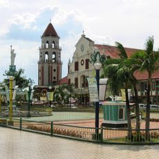
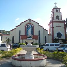
Alcala, Municipality division in Pangasinan, Philippines
Alcala is a municipality in Pangasinan consisting of multiple barangays that form the administrative structure of the area. Each barangay contains smaller communities and neighborhoods that make up the wider municipal territory.
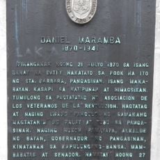
The town became a municipality in 1903 during American colonial rule, having previously been part of Bayambang. This change marked an important shift in how the area was governed and organized.
The Tukar Music Festival celebrates regional musical traditions and brings local performers together in a community gathering. This event reflects how music remains central to local identity and social life.
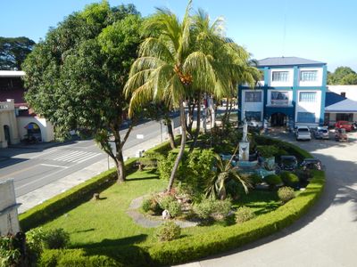
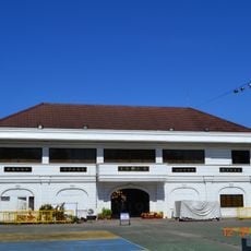
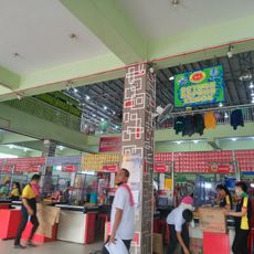
The area is accessible by road and offers basic services spread across its barangays. Visitors can find local markets, government offices, and residential communities throughout the municipality.
The town is known for an impressive community project involving the construction of an exceptionally long communal grill. This undertaking demonstrates the collaborative spirit and resourcefulness of residents working together on distinctive projects.
GPS coordinates: 15.83734,120.52887
Latest update: December 8, 2025 13:40
Our Lady of Manaoag
23.4 km
Manaoag Church
23.4 km
St. Vincent Ferrer Statue
9.4 km
Apung Mamacalulu
18.9 km
Saint Dominic de Guzman Parish Church
21.8 kmUrdaneta Philippines Temple
16.1 km
Manleluag Spring Protected Landscape
30.3 km
Metropolitan Cathedral of St. John the Evangelist
30.9 km
Urdaneta Cathedral
15.7 km
Saint Ildephonse of Seville Parish Church
15.4 km
Our Lady of Lourdes Parish Church
36.7 km
Saint Joseph the Patriarch Parish Church
31.6 km
Bayambang Plaza
8.3 km
Daniel Maramba historical marker
22.8 km
Cuyapo, Nueva Ecija historical marker
15.9 km
Villa Luisa Resort
27.1 km
Saint Vincent Ferrer Prayer Park
9.4 km
Dagupan City Museum
31 km
City of San Carlos historical marker
21.8 km
Rancho Caridad historical marker
16.2 km
Church of Nuestra Señora de Manaoag historical marker
23.4 km
Gerona Plaza
26.8 km
Seat of the Revolutionary Government of the Philippines historical marker
8.3 km
Church of San Carlos historical marker
21.8 km
Carlos P. Romulo historical marker
20.7 km
Eugenio Perez y Padlan historical marker
12.9 km
Church of Dagupan historical marker
30.8 km
Luzon Landing historical marker
33.5 kmVisited this place? Tap the stars to rate it and share your experience / photos with the community! Try now! You can cancel it anytime.
Discover hidden gems everywhere you go!
From secret cafés to breathtaking viewpoints, skip the crowded tourist spots and find places that match your style. Our app makes it easy with voice search, smart filtering, route optimization, and insider tips from travelers worldwide. Download now for the complete mobile experience.
A unique approach to discovering new places❞
— Le Figaro
All the places worth exploring❞
— France Info
A tailor-made excursion in just a few clicks❞
— 20 Minutes