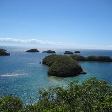
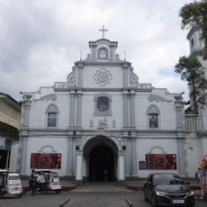
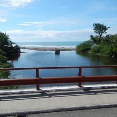
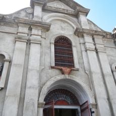
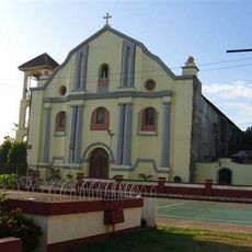
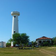
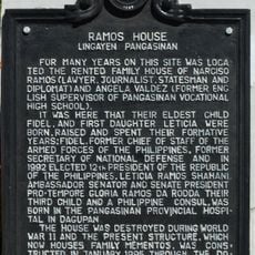
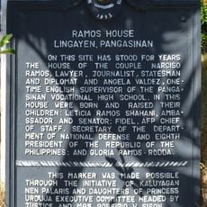
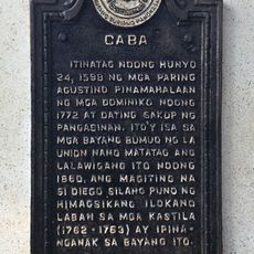
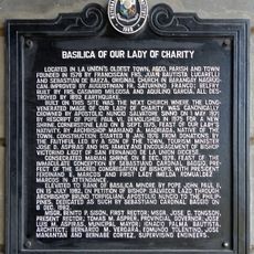
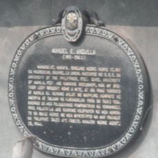
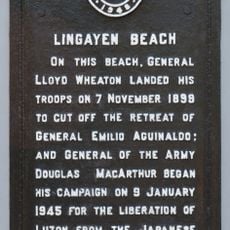
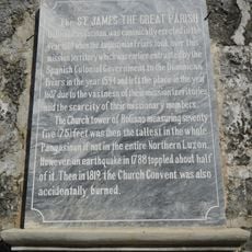
Bolinao, municipality of the Philippines in the province of Pangasinan
Location: Pangasinan
Elevation above the sea: 7 m
Shares border with: Bani, Anda
GPS coordinates: 16.38806,119.89472
Latest update: March 3, 2025 02:33
Hundred Islands National Park
25.6 km
Agoo Basilica
51 km
Parish Church of Saints Peter and Paul
51.9 km
Bolinao Church
123 m
Pangasinan Provincial Capitol
53.4 km
San Fernando Cathedral
51.8 km
Alaminos Cathedral
27.4 km
Agoo–Damortis Protected Landscape and Seascape
48.1 km
Cape Bolinao Lighthouse
14.7 km
Dagupan Church
60.8 km
Santo Niño Parish Church
35.9 km
Diego Silang historical marker
48.3 km
Masamirey Cove Resort
35.6 km
Poro Point Lighthouse
48.7 km
Elpidio Quirino historical marker
48.8 km
Ramos House historical marker
53.8 km
Holy Land Beach Resort
12.2 km
Ramos House historical marker
53.8 km
Church of San Fernando, La Union historical marker
51.8 km
The Launch historical marker
53.3 km
Caba historical marker
48.3 km
Basilica of Our Lady of Charity historical marker
51 km
Imelda cave
25.1 km
Manuel E. Arguilla historical marker
48.4 km
Lingayen Beach historical marker
53.3 km
Saint James the Great Parish Church (Bolinao) historical marker
123 m
Poro Point Lighthouse historical marker
48.3 km
The Battle of San Fernando historical marker
51.7 kmReviews
Visited this place? Tap the stars to rate it and share your experience / photos with the community! Try now! You can cancel it anytime.
Discover hidden gems everywhere you go!
From secret cafés to breathtaking viewpoints, skip the crowded tourist spots and find places that match your style. Our app makes it easy with voice search, smart filtering, route optimization, and insider tips from travelers worldwide. Download now for the complete mobile experience.
A unique approach to discovering new places❞
— Le Figaro
All the places worth exploring❞
— France Info
A tailor-made excursion in just a few clicks❞
— 20 Minutes