Batanes, Provincial administrative division in northern Philippines
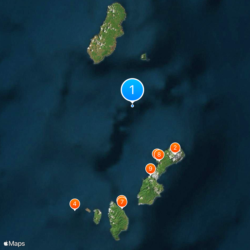
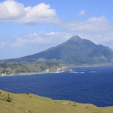
Batanes is a province in the northern Philippines consisting of ten islands between the Balintang Channel and Taiwan, part of the Cagayan Valley region. Three of these islands host permanently inhabited settlements with small villages and coastal paths that wind around gentle hills and cliffs.
Austronesian groups reached these islands around 4,000 years ago during the Neolithic period and founded the first permanent settlements. Later waves brought new techniques in house construction and farming that adapted to the frequent storms and harsh climate.
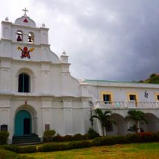
Residents speak Ivatan, an Austronesian language that remains alive in religious festivals and daily conversation. Many houses made of layered volcanic stone and thick thatch roofs still stand today and are maintained by the families who have lived in them for generations.
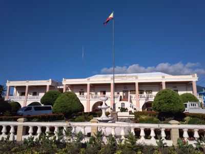
The single airport lands in Basco, while smaller boats connect the inhabited islands, with departures depending heavily on weather. Travelers should bring flexible plans, as storms can disrupt traffic for days.
The temperature stays around 26 °C throughout the year, creating a microclimate that differs sharply from most other Philippine regions. This constant weather allows residents to plan harvests without experiencing the extreme swings of the southern islands.
The community of curious travelers
AroundUs brings together thousands of curated places, local tips, and hidden gems, enriched daily by 60,000 contributors worldwide.