Bohol, Island province in Central Visayas, Philippines
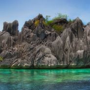
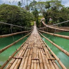
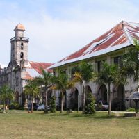
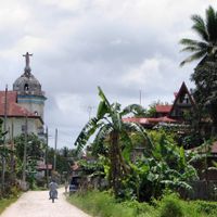
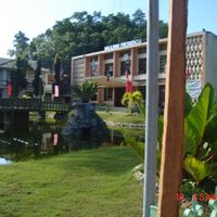
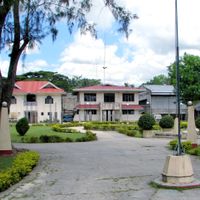
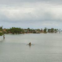
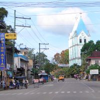
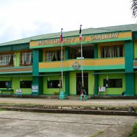
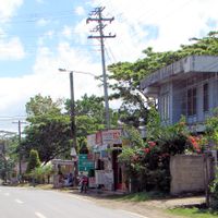
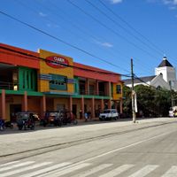
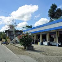
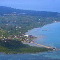
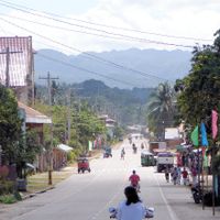
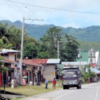
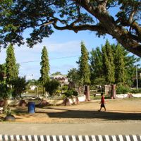
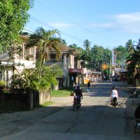
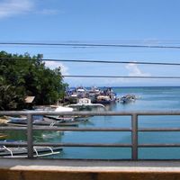
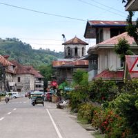
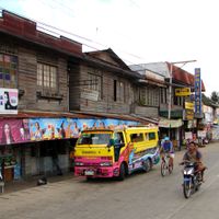
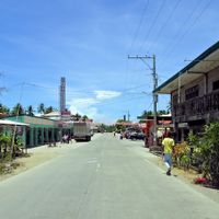
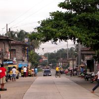
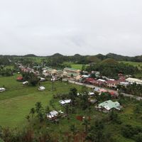
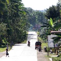
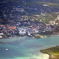
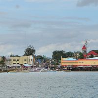
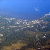
This province in the central Visayas covers a main island and many smaller islets separated by narrow straits. Towns and villages scatter across gentle hills and flat coastal strips, while bays and offshore islands break up the shoreline.
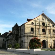
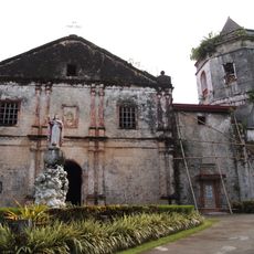
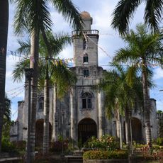
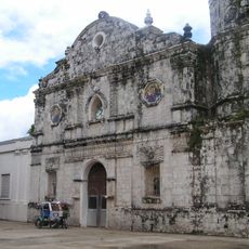
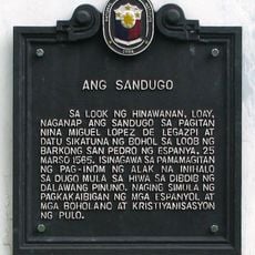
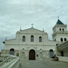
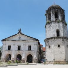
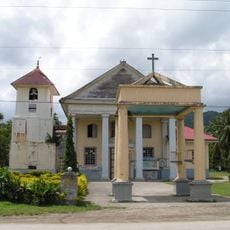
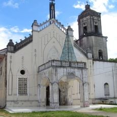
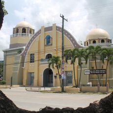
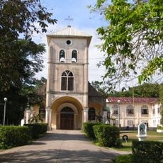
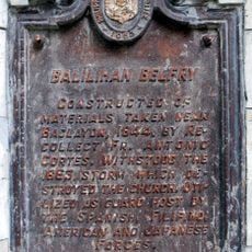
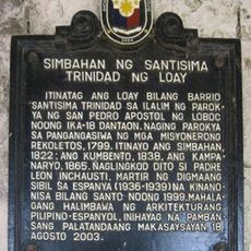
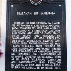
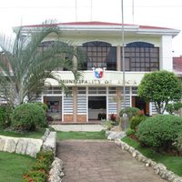
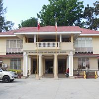
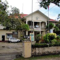
Spanish seafarers landed in the 16th century and made a blood pact with a local chief, marking the start of colonial times. Revolts against foreign rule shaped the following centuries, until the islands gained their present administrative form in the 20th century.
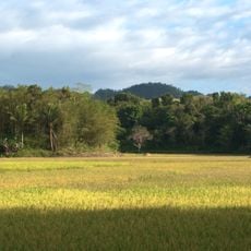
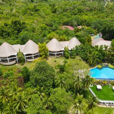
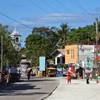
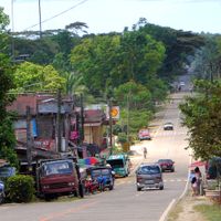
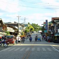
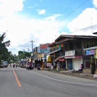
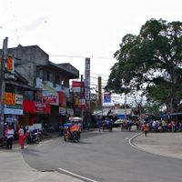
The name comes from a local term for a type of fish that once thrived in the island's rivers. Farming and fishing families shape daily life across many communities, drawing their livelihood from the sea and rice paddies.
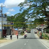
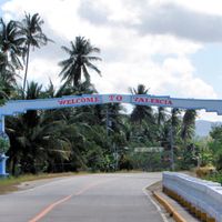
Flights and regular ferries link the island group to neighboring regions, while public buses and smaller three-wheelers move travelers between towns. Many roads wind over hilly routes, so allow extra time for longer journeys.
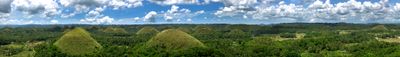
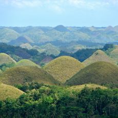
More than a thousand cone-shaped hills rise like row houses from the green interior and turn brown during dry months. These formations sit close together and create a rolling pattern that becomes especially clear when seen from above.
Location: Central Visayas
Inception: March 25, 1565
Capital city: Tagbilaran
Shares border with: Cebu, Camiguin, Southern Leyte, Siquijor
Website: http://bohol.gov.ph
GPS coordinates: 9.88333,124.21667
Latest update: December 4, 2025 19:02
The islands of the Philippines display exceptional geographical diversity. Palawan, Siargao, Boracay, Bohol, and Cebu offer beaches, coral reefs, clear water lagoons, and geological formations. The marine national parks host a rich marine fauna. Historical sites and terraced rice paddies represent cultural heritage. Volcanoes, waterfalls, and caves illustrate the variety of the archipelago's natural landscapes.
Chocolate Hills
6.6 km
Loboc Church
34.2 km
Santa Cruz Parish Church
43.7 km
Rajah Sikatuna Protected Landscape
16.7 km
Alburquerque Church
41.5 km
Talibon Cathedral
32.1 km
The Blood Compact historical marker
39.1 km
Nalusuan Island
41.6 km
Tubigon Church
28.8 km
Loay Church
38.6 km
Immaculate Conception Parish Church
28.4 km
Inabanga Church
22.9 km
Jagna Church
30.7 km
Amun Ini Beach Resort & Spa
38.3 km
Balilihan Church
30.2 km
Sagbayan Peak Park
16.4 km
Carmen Church
6.8 km
Sikatuna’s Mirror of the World and Botanical Garden
35.5 km
Dagohoy Monument
9.2 km
Church of Tubigon historical marker
28.8 km
Sevilla Twin Hanging Bridge
29.7 km
Church of San Pedro Apostol historical marker
34.2 km
In Memory of Francisco Dagohoy historical marker
9.2 km
Church of Carmen historical marker
6.8 km
Balilihan Belfry
30.2 km
Balilihan Belfry historical marker
30.2 km
Church of the Holy Trinity of Loay historical marker
38.6 km
Church of Inabanga historical marker
23 kmReviews
Visited this place? Tap the stars to rate it and share your experience / photos with the community! Try now! You can cancel it anytime.
Alburquerque
Alicia
Anda
Antequera
Baclayon
Balilihan
Batuan
Bien Unido
Bilar
Buenavista
Calape
Candijay
Carmen
Catigbian
Clarin
Corella
Cortes
Dagohoy
Danao
Dauis
Dimiao
Duero
Garcia Hernandez
Getafe
Guindulman
Inabanga
Jagna
Lila
Loay
Loboc
Loon
Mabini
Maribojoc
Panglao
Pilar
President Carlos P. Garcia
Sagbayan
San Isidro
San Miguel
Sevilla
Sierra Bullones
Sikatuna
Tagbilaran
Talibon
Trinidad
Tubigon
Ubay
Valencia
Discover hidden gems everywhere you go!
From secret cafés to breathtaking viewpoints, skip the crowded tourist spots and find places that match your style. Our app makes it easy with voice search, smart filtering, route optimization, and insider tips from travelers worldwide. Download now for the complete mobile experience.
A unique approach to discovering new places❞
— Le Figaro
All the places worth exploring❞
— France Info
A tailor-made excursion in just a few clicks❞
— 20 Minutes