Dinagat Islands, Island province in Caraga Region, Philippines
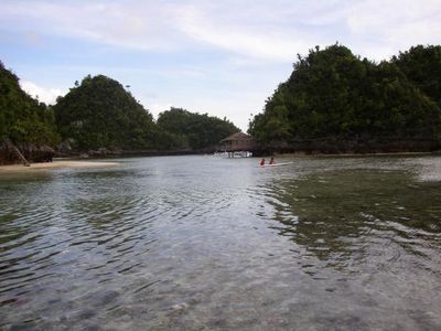
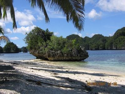
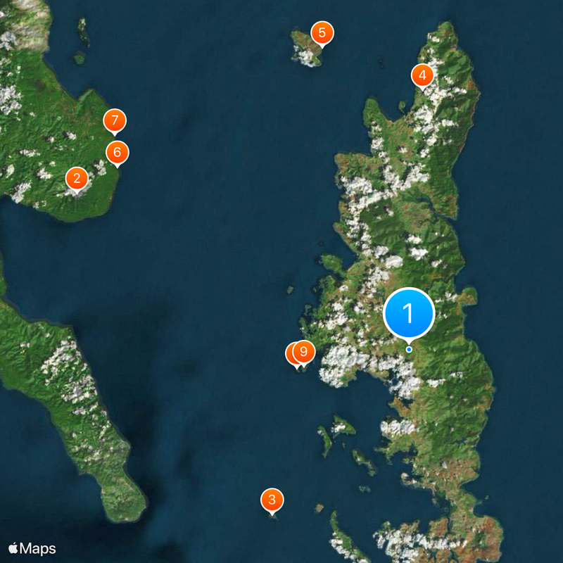
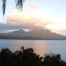
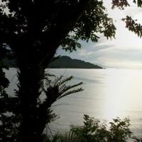
Dinagat Islands is an island province in the Caraga Region comprising seven municipalities spread across about 800 square kilometers. The territory sits between Leyte Gulf and the Philippine Sea, with numerous inhabited and uninhabited islands forming the province.
The area underwent major changes during World War II when American forces arrived in 1944 and established a military presence on the islands. This arrival ended the occupation and shaped the course of development that followed.
People here speak Cebuano as their main language, with Surigaonon and Waray-Waray heard in coastal towns. This mix reflects how different communities have settled and made their homes across the islands.
The best time to visit is during the dry season when roads and coastal areas are easier to navigate. Planning ahead with local advice helps you get the most from exploring the islands.
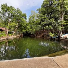
The islands are home to animal species found nowhere else in the world, including specialized rodents with distinctive features. This natural rarity makes the place worth noting for those interested in wildlife.
Location: Caraga
Inception: December 2, 2006
Capital city: San Jose
Shares border with: Southern Leyte
Website: http://dinagatislands.gov.ph
GPS coordinates: 10.10000,125.60000
Latest update: December 6, 2025 21:21
Cabalian Volcano
46.2 km
Agas-Agas Bridge
79.4 km
Guiuan Church
104.5 km
Maasin Cathedral
83.6 km
Islander's Castle
42.8 km
Surigao Cathedral
36.5 km
Guiuan Protected Landscape and Seascape
100.9 km
Siargao Islands Protected Landscape and Seascape
57.2 km
Magpupungko Beach
62.1 km
Pacifico Beach
57.8 km
Alegria beach
51.9 km
Oppus Ancestral House historical marker
83.1 km
Site of the First Raising of the Philippine Flag in Mindanao historical marker
36.3 km
Tambaan Farm
97.2 km
JB Nature Farm and Resort
48.6 km
Suluan quincentennial historical marker
83 km
Cathedral of Maasin historical marker
83.6 km
Inland Resort
87.9 km
First Mass in the Philippines historical marker
64.4 km
Homonhon quincentennial historical marker
69.1 km
Surigao City Hall
36.3 km
Oppus House
83.1 km
Church of Guiuan historical marker
104.5 km
Sampaguita Beach
60.4 km
Handig Beach
81.1 km
Malinao Beach
68.7 km
Homonhon historical marker
69 km
Cloud 9
69.7 kmReviews
Visited this place? Tap the stars to rate it and share your experience / photos with the community! Try now! You can cancel it anytime.
Discover hidden gems everywhere you go!
From secret cafés to breathtaking viewpoints, skip the crowded tourist spots and find places that match your style. Our app makes it easy with voice search, smart filtering, route optimization, and insider tips from travelers worldwide. Download now for the complete mobile experience.
A unique approach to discovering new places❞
— Le Figaro
All the places worth exploring❞
— France Info
A tailor-made excursion in just a few clicks❞
— 20 Minutes