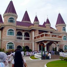
Loreto, Administrative municipality in Dinagat Islands, Philippines
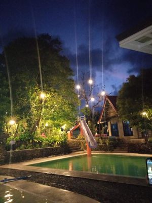
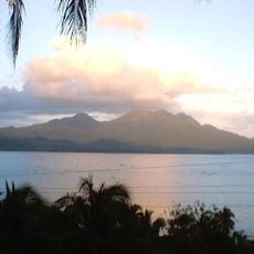
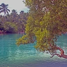
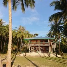
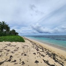
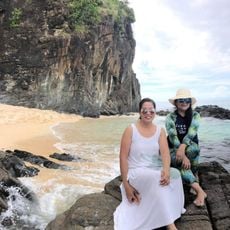
Loreto is a municipality covering the northern portion of Dinagat Islands, with coastlines along the Pacific Ocean to the east and Surigao Strait to the west. The area spans several coastal and inland settlements that form the local communities.
The area was originally called Mabua when established in 1847, then renamed Loreto in 1881 to honor the provincial governor's daughter. It became an independent municipality in 1919.
Multiple languages fill daily life here, with Cebuano, Surigaonon, Tagalog, and Waray all spoken by residents in their communities. This linguistic variety shapes how people interact and share stories across the municipality.
The economy is built on mining operations, with significant deposits of chromite, manganese, copper, coal, and gold shaping how the area develops and functions. Visitors should expect infrastructure and activity patterns connected to this industry.
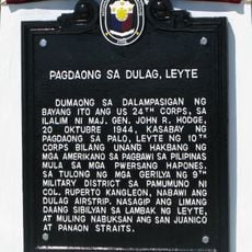
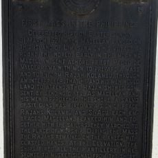
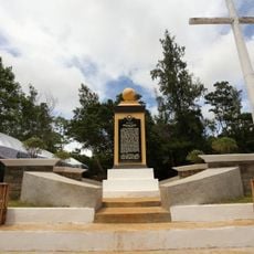
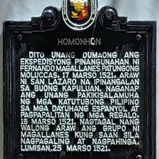
The territory became historically significant when American Liberation Forces first set foot there on October 17, 1944, marking the beginning of the country's return to independence. This landing moment symbolized the return of the American flag to Philippine soil after years of occupation.
Location: Dinagat Islands
Address: Loreto, Dinagat Islands, Philippines
GPS coordinates: 10.42474,125.58197
Latest update: December 10, 2025 20:02
Cabalian Volcano
43 km
Agas-Agas Bridge
64.4 km
Guiuan Church
69.3 km
Islander's Castle
63.7 km
Surigao Cathedral
71.3 km
Guiuan Protected Landscape and Seascape
65.8 km
Siargao Islands Protected Landscape and Seascape
84.3 km
Magpupungko Beach
84.9 km
Pacifico Beach
78.3 km
Alegria beach
67.7 km
Oppus Ancestral House historical marker
87.3 km
Site of the First Raising of the Philippine Flag in Mindanao historical marker
71.2 km
Landing at Dulag, Leyte historical marker
84.9 km
Balangiga Church
79.2 km
JB Nature Farm and Resort
84 km
Suluan quincentennial historical marker
55 km
Balangiga Massacre historical marker
79.2 km
Inland Resort
70.2 km
First Mass in the Philippines historical marker
75.9 km
Homonhon quincentennial historical marker
37.2 km
Surigao City Hall
71.2 km
Oppus House
87.3 km
Church of Balangiga historical marker
79.2 km
Church of Guiuan historical marker
69.2 km
Linao Springs
5 km
Syshore
66.6 km
Handig Beach
46 km
Homonhon historical marker
37.2 kmVisited this place? Tap the stars to rate it and share your experience / photos with the community! Try now! You can cancel it anytime.
Discover hidden gems everywhere you go!
From secret cafés to breathtaking viewpoints, skip the crowded tourist spots and find places that match your style. Our app makes it easy with voice search, smart filtering, route optimization, and insider tips from travelers worldwide. Download now for the complete mobile experience.
A unique approach to discovering new places❞
— Le Figaro
All the places worth exploring❞
— France Info
A tailor-made excursion in just a few clicks❞
— 20 Minutes