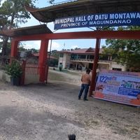
Maguindanao, Administrative division in Mindanao, Philippines
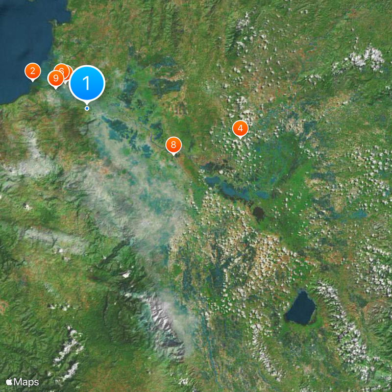
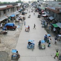
Maguindanao is a former administrative unit in the Bangsamoro Autonomous Region on Mindanao, encompassing 37 municipalities spread across a wide lowland plain with rivers, marshes, and some hilly areas. The landscape is crossed by the Pulangi river system, which forms fertile valleys and supplies water to the inhabitants.
The Sultanate of Maguindanao emerged in the 15th century and resisted Spanish colonial rule for centuries through military opposition and diplomacy. After the end of American occupation, the area became a Philippine province in 1973 and was split into two separate administrative regions in 2022.
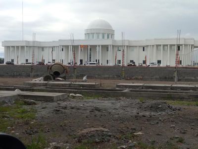
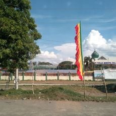
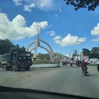
The name comes from the Sultanate of Maguindanao, meaning "people of the flooded plain," a direct reference to the wide river landscape that shapes daily life. Visitors experience a predominantly Muslim region with mosques, traditional bamboo and wooden houses, and the daily call to prayer heard across many communities.
Travelers should be aware that the area consists of two separate administrative districts that may have different local authorities and rules. It is advisable to inquire locally about current conditions, as some areas are more remote and infrastructure varies from municipality to municipality.
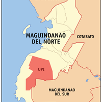
Cotabato City lies within the boundaries of the former province but does not belong to its administration, forming an independent regional unit within the Bangsamoro Autonomous Region. This geographical peculiarity creates an island within the surrounding administrative structure, which has been governed separately for decades.
The community of curious travelers
AroundUs brings together thousands of curated places, local tips, and hidden gems, enriched daily by 60,000 contributors worldwide.