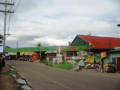
Angat, municipality of the Philippines in the province of Bulacan
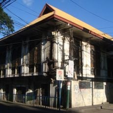
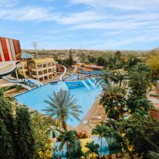
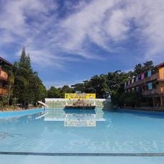
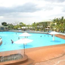
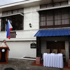
Angat is a municipality in Bulacan province on the Philippines, situated in a valley between hills and green fields with the Angat River flowing through its center. The town spans 16 barangays with traditional wooden and stone houses, an older church at its heart, and several resorts with pools that draw both day visitors and overnight guests.
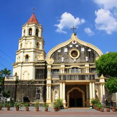
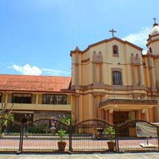
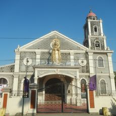
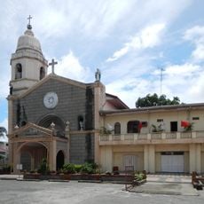
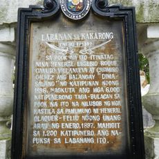
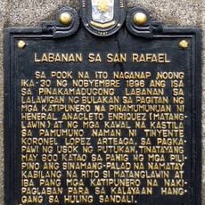
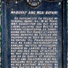
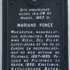
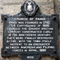
The place was once part of a larger village called Quingua and received a small chapel in 1727 that later expanded into the present-day parish church. This early settlement in the late 1600s shaped its development as an agricultural and religious community that continues today.
The town is named after its river and has long been a center of faith for its residents. Each year on May 4th, locals celebrate the feast of St. Monica with processions, food, and music, with the entire community gathering to mark this important day.
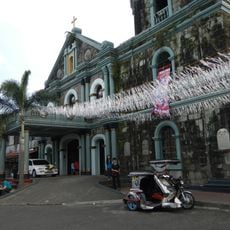
The place is easily accessible from Metro Manila and works well for a day trip or weekend visit. Most visitors explore the old town on foot, visit the historic church, walk along the river, or use the resorts with their pools and rest areas.
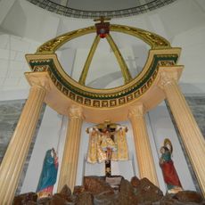
The church at the center of town resembles the famous Sistine Chapel in its ceiling design with special decorative work. This architectural detail makes it a surprising artistic treasure in a small, quiet community.
The community of curious travelers
AroundUs brings together thousands of curated places, local tips, and hidden gems, enriched daily by 60,000 contributors worldwide.