Angat Watershed Forest Reserve, Protected forest reserve in Bulacan, Philippines
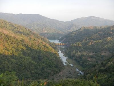
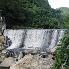
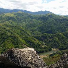
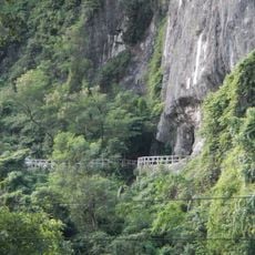
Angat Watershed Forest Reserve covers a large mountainous area filled with dense lowland rainforests, bamboo groves, and open grasslands that stretch across multiple provinces. The terrain rises and falls sharply, creating a landscape where water naturally flows downward toward the rivers below.
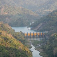
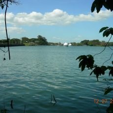
The area was first set aside in 1904 to protect water sources for power generation in the region. It became an official forest reserve in 1968 when the government created a formal protected area through presidential order.
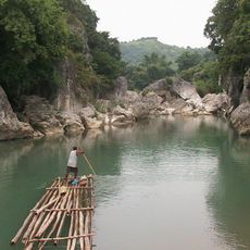
The Dumagat people have inhabited these forests for generations, with their traditional way of life still visible in the settlements scattered throughout the reserve. Their presence shapes how this place is used and understood by those who visit or work here.
The reserve is mostly wild and remote, so visitors need good preparation and should consider hiring a local guide for safe exploration. Access is mainly through marked trails and forest paths that can become slippery during rainy weather.
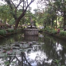
The forest hosts hundreds of plant species found nowhere else in the world, making it one of the few places where such botanical treasures survive. It also serves as a crucial refuge for rare birds like the Luzon hornbill and Philippine eagle owl that depend on these specific conditions to survive.
The community of curious travelers
AroundUs brings together thousands of curated places, local tips, and hidden gems, enriched daily by 60,000 contributors worldwide.