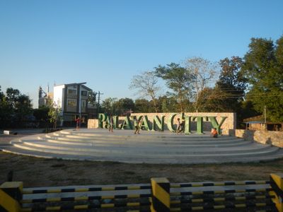
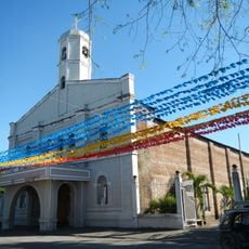
Palayan, Provincial capital in Nueva Ecija, Philippines
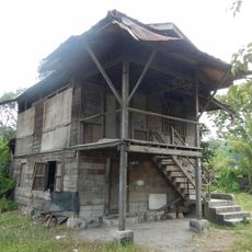
Palayan is a city in Nueva Ecija that spreads over a large area at an elevation of about 173 meters. The place was originally a government farm before being transformed into the provincial capital.
The city was founded in 1965 and officially became the provincial capital. This establishment marked a turning point in how the region was governed and developed.
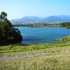
The name comes from the word for rice paddy, linking the place deeply to farming traditions. This agricultural heritage remains visible in how the landscape and community identity are shaped around rice cultivation.
The city sits on flat ground, making it easy to get around and explore different areas. Visitors should prepare for warm, tropical weather and wear light, breathable clothing.
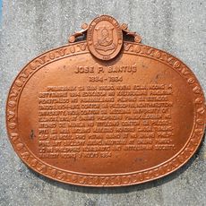
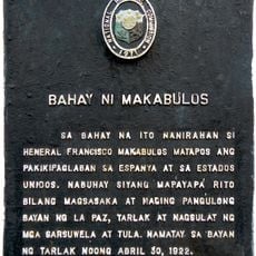
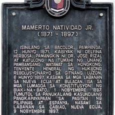
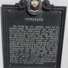
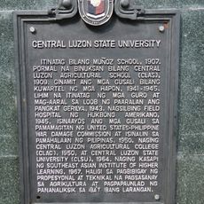
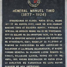
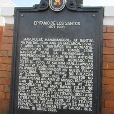
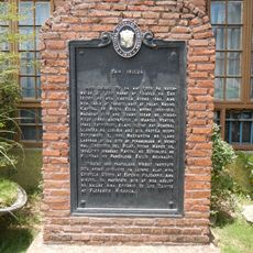
The city is home to a major military training center that has shaped the region for decades. This military presence has significantly influenced local infrastructure and how residents live.
Location: Nueva Ecija
Inception: June 19, 1965
Elevation above the sea: 173 m
Shares border with: General Mamerto Natividad
Website: http://palayancity.gov.ph
GPS coordinates: 15.54222,121.08444
Latest update: December 20, 2025 13:36
Minalungao National Park
26.9 km
Cabanatuan American Memorial
5.6 km
Aurora Memorial National Park
30.1 km
Cabanatuan Cathedral
14.2 km
Pantabangan–Carranglan Watershed Forest Reserve
34.8 km
Sideco House
32.2 km
Saint Francis of Assisi Parish Church
22.8 km
Mariano Llanera historical marker
40.2 km
Death Place of General Antonio Luna historical marker
14.2 km
Nueva Ecija High School historical marker
13.5 km
Jose P. Bantug historical marker
32.3 km
House of Makabulos historical marker
39.7 km
Cathedral of Saint Joseph the Worker
29.6 km
Mamerto Natividad Jr. historical marker
40.2 km
Memorare historical marker (Raid at Cabanatuan)
5.6 km
Central Luzon State University historical marker
26.8 km
Makabulos House
39.7 km
Church of San Miguel de Mayumo historical marker
46.2 km
Francisco Makabulos historical marker
39.6 km
Felipe Buencamino, Sr. historical marker
45.7 km
Penyaranda historical marker
21.1 km
Church of Peñaranda historical marker
22.8 km
Lazaro Francisco historical marker
14.8 km
General Manuel Tinio historical marker
15.6 km
Epifanio de los Santos historical marker
32.2 km
Dreamwater Resort
23 km
MGL Hotel & Resort
11.5 km
San Isidro historical marker
32.2 kmVisited this place? Tap the stars to rate it and share your experience / photos with the community! Try now! You can cancel it anytime.
Discover hidden gems everywhere you go!
From secret cafés to breathtaking viewpoints, skip the crowded tourist spots and find places that match your style. Our app makes it easy with voice search, smart filtering, route optimization, and insider tips from travelers worldwide. Download now for the complete mobile experience.
A unique approach to discovering new places❞
— Le Figaro
All the places worth exploring❞
— France Info
A tailor-made excursion in just a few clicks❞
— 20 Minutes