Pantabangan–Carranglan Watershed Forest Reserve, Forest reserve in Nueva Ecija, Philippines
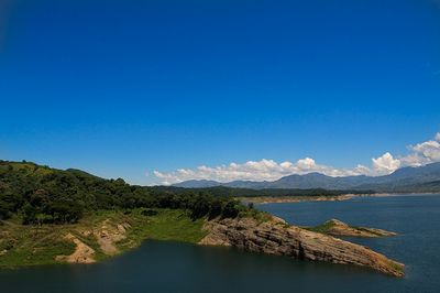
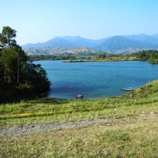
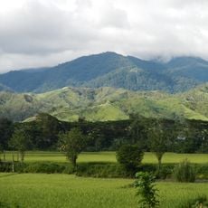
The Pantabangan-Carranglan Watershed Forest Reserve is a protected forest in Nueva Ecija province, surrounding Pantabangan Lake in Central Luzon. The terrain is made up of steep hillsides covered in mixed forest, with mountain streams and river valleys feeding into the lake below.
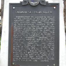
The forest was placed under government protection in 1969, when plans for the Pantabangan Dam were taking shape. The decision to protect the surrounding land was directly linked to securing water flow for the dam and the power it was meant to generate.
Local communities use the forest for hunting, foraging, and fishing in mountain streams as part of their everyday way of life. These practices remain central to how people connect with the land and its resources today.
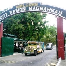
The reserve is accessible by local transport from nearby towns, but the upper areas have no paved roads and require some effort to reach. Sturdy footwear and rain gear are worth bringing, as trails can get slippery and the weather changes quickly at higher ground.
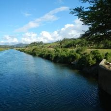
Water from a neighboring dam reaches Pantabangan Lake through a tunnel buried underground, even though the two bodies of water appear completely separate on the surface. This hidden connection is not visible during a visit, yet it plays a central role in how the area generates electricity.
The community of curious travelers
AroundUs brings together thousands of curated places, local tips, and hidden gems, enriched daily by 60,000 contributors worldwide.