Mount Guiwan, Mountain summit in Alfonso Castañeda, Nueva Vizcaya, Philippines.
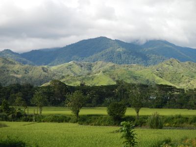
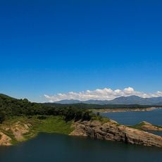
Mount Guiwan is a summit in the Sierra Madre mountain range on the island of Luzon in the Philippines, sitting at around 1,915 meters above sea level. Its slopes are covered in dense forest crossed by many streams, and the vegetation shifts into different forest zones as you climb higher.
The peak was first documented and mapped in 2012 by the Nueva Vizcaya Mountaineering Society. That expedition marked the beginning of systematic study of the mountain's terrain and ecology.
Local communities use traditional paths across the slopes that have been known for generations. Visitors walking these routes can still spot them woven into the landscape, standing out clearly from the surrounding terrain.
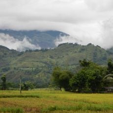
The climb starts from Alfonso Castaneda and follows the Zamora trail through sections of mossy forest. The ascent typically takes three days, so it is worth preparing for changing weather at higher elevations and for wet stretches along the way.
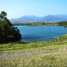
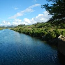
Beneath the mountain runs a tunnel that carries water from the Casecnan River to Pantabangan Dam. Near the summit, a waterfall system roughly a kilometer long breaks the silence of the surrounding forests.
The community of curious travelers
AroundUs brings together thousands of curated places, local tips, and hidden gems, enriched daily by 60,000 contributors worldwide.