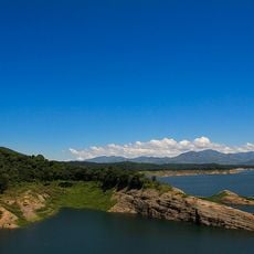
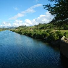
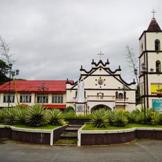
Dinadiawan River Protected Landscape, Protected area in Dipaculao, Philippines.
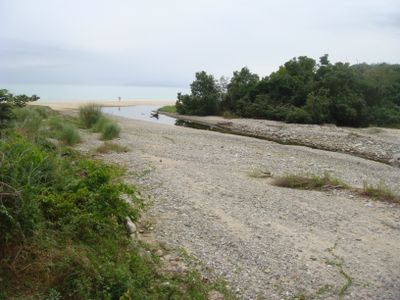
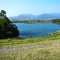
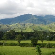
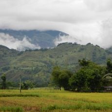
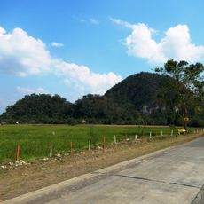
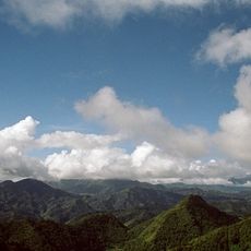
Dinadiawan River Protected Landscape is a protected area in Dipaculao that contains forested mountains, waterfalls, and natural springs connected by the river system. The terrain includes dense woodlands at various elevations with multiple water features flowing toward the coast.
The area was first protected as a watershed forest reserve in 1992 and later designated as a Protected Landscape in 2000. This progression reflected growing recognition of its importance for water conservation.
Indigenous communities living here practice traditional fishing and farming methods along the riverbanks. Their daily routines shape how the landscape is used and cared for today.
Plan for wet and uneven terrain by bringing sturdy footwear and weather-appropriate clothing. Access to remote sections often requires a local guide for safe navigation.
Five species of tall hardwood trees grow here, including tanguile and mayapis, which are not commonly found together elsewhere. These trees form the backbone of the forest ecosystem and are worth observing during a visit.
Inception: 1992
GPS coordinates: 16.08667,121.77028
Latest update: December 14, 2025 18:12
Fort Magsaysay
103.1 km
Cabanatuan American Memorial
100.8 km
Aurora Memorial National Park
66.1 km
Bayombong Cathedral
79.6 km
Pantabangan–Carranglan Watershed Forest Reserve
70.2 km
Mount Guiwan
54.1 km
Salinas Natural Monument
86.4 km
Casecnan Protected Landscape
34.9 km
Saint Catherine of Siena Parish Church
78.5 km
Quirino Protected Landscape
32.4 km
Mount Pulag National Park
99.3 km
Baler Church
42.7 km
Doña Aurora Aragon-Quezon House
42.8 km
Church of Baler historical marker
42.7 km
Casapsapan Beach
49.9 km
Dikaloyungan historical marker
44.1 km
Lt. Gilmore Rescue Party historical marker
42.7 km
Aurora Aragon Quezon historical marker
42.7 km
Siege of the Church of Baler historical marker
42.7 km
Birthplace of Manuel Luis Quezon historical marker
42.7 km
Battle of Balete Pass historical marker
90 km
Town of Baler historical marker
42.7 km
Baler Municipal Hall
42.7 km
Memorare historical marker (Raid at Cabanatuan)
100.8 km
Central Luzon State University historical marker
98.3 km
Balay Na Santiago
71.4 km
Surrender of General Yamashita historical marker
106.1 km
Quezon Park
42.7 kmVisited this place? Tap the stars to rate it and share your experience / photos with the community! Try now! You can cancel it anytime.
Discover hidden gems everywhere you go!
From secret cafés to breathtaking viewpoints, skip the crowded tourist spots and find places that match your style. Our app makes it easy with voice search, smart filtering, route optimization, and insider tips from travelers worldwide. Download now for the complete mobile experience.
A unique approach to discovering new places❞
— Le Figaro
All the places worth exploring❞
— France Info
A tailor-made excursion in just a few clicks❞
— 20 Minutes