Quirino Protected Landscape, Protected landscape in Quirino Province, Philippines
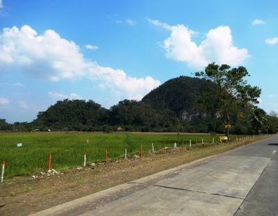
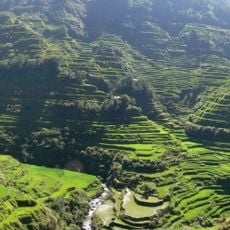
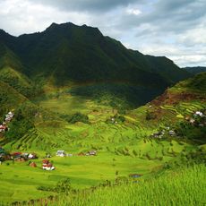
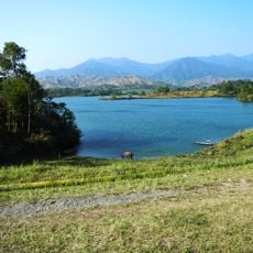
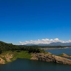
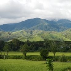
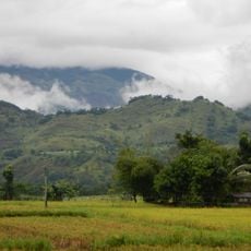
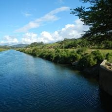
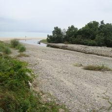
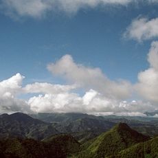
Quirino Protected Landscape is a forest reserve in the Sierra Madre mountains spanning several municipalities with extensive rainforest. Three major river systems flow through the area, sustaining diverse wildlife and vegetation.
The area received official protection status in 2004 to safeguard the watershed feeding the Cagayan River system. This designation ensures the water sources remain secure for downstream communities.
Local communities gather medicinal plants and practice beekeeping within the forest, weaving their daily livelihoods into forest conservation. These traditions shape how residents relate to and depend on the landscape around them.
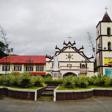
Access is easiest from Santiago City, where guided forest walks can be arranged to explore the old-growth woods. Come prepared with sturdy shoes and rain gear since the terrain is often wet and muddy.
Scientists identified a new rafflesia species here in 2009, named rafflesia aurantia, found nowhere else in the world. This rare parasitic flower attracts researchers studying forest biodiversity.
Inception: 2004
GPS coordinates: 16.37722,121.78250
Latest update: December 14, 2025 17:43
Banaue Rice Terraces
92.9 km
Rice Terraces of the Philippine Cordilleras
92.7 km
Aurora Memorial National Park
92.6 km
Bayombong Cathedral
68.5 km
Pantabangan–Carranglan Watershed Forest Reserve
88.7 km
Mount Guiwan
71.6 km
Salinas Natural Monument
81.7 km
Gamu Cathedral
79.5 km
Casecnan Protected Landscape
52.3 km
Saint Catherine of Siena Parish Church
72.4 km
Dinadiawan River Protected Landscape
32.4 km
Batad Rice Terraces
92.7 km
Mount Pulag National Park
86.8 km
Baler Church
72.7 km
Doña Aurora Aragon-Quezon House
72.8 km
Church of Baler historical marker
72.7 km
Casapsapan Beach
43.6 km
Dikaloyungan historical marker
74.5 km
Lt. Gilmore Rescue Party historical marker
72.7 km
Aurora Aragon Quezon historical marker
72.8 km
Siege of the Church of Baler historical marker
72.7 km
Birthplace of Manuel Luis Quezon historical marker
72.7 km
Battle of Balete Pass historical marker
95.1 km
Town of Baler historical marker
72.7 km
Baler Municipal Hall
72.7 km
Balay Na Santiago
42.9 km
Surrender of General Yamashita historical marker
86.7 km
Quezon Park
72.7 kmVisited this place? Tap the stars to rate it and share your experience / photos with the community! Try now! You can cancel it anytime.
Discover hidden gems everywhere you go!
From secret cafés to breathtaking viewpoints, skip the crowded tourist spots and find places that match your style. Our app makes it easy with voice search, smart filtering, route optimization, and insider tips from travelers worldwide. Download now for the complete mobile experience.
A unique approach to discovering new places❞
— Le Figaro
All the places worth exploring❞
— France Info
A tailor-made excursion in just a few clicks❞
— 20 Minutes