
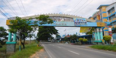
Santa Ana, municipality of the Philippines in the province of Pampanga
Location: Pampanga
Elevation above the sea: 9 m
Shares border with: Arayat
GPS coordinates: 15.09389,120.76806
Latest update: March 30, 2025 19:46
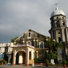
San Andres Apostol Church
6.4 km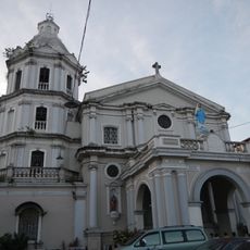
San Fernando Cathedral
10.9 km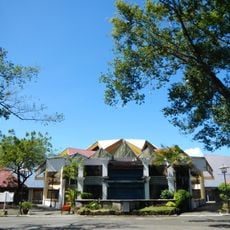
Paskuhan Village
9.4 km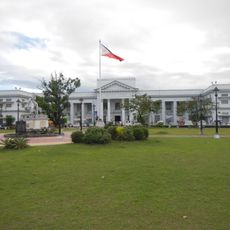
Pampanga Provincial Capitol
11.7 km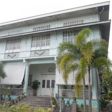
Lazatin House
11.3 km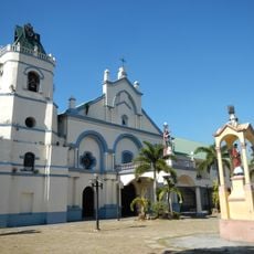
Santa Catalina Parish Church
6.4 km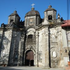
San Luis Gonzaga Parish Church
6.5 km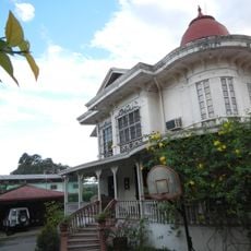
Augusto P. Hizon House
11.1 km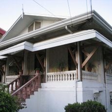
Cuyugan-Dayrit House
11 km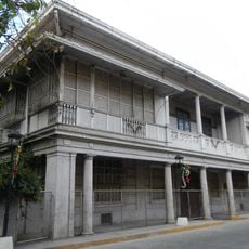
Hizon-Singian House
11.1 km
Henson–Hizon House
11.3 km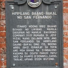
San Fernando Railroad Station historical marker
11.5 km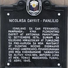
Nicolasa Dayrit-Panlilio historical marker
11.2 km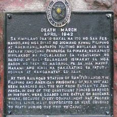
Death March historical marker
11.5 km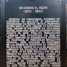
Maximino H. Hizon historical marker
11.6 km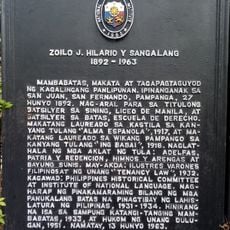
Zoilo J. Hilario y Sangalang historical marker
11.7 km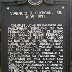
Vivencio B. Cuyugan, Sr. historical marker
10.8 km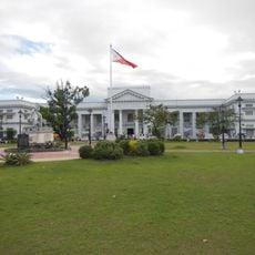
Governor Macario Arnedo Park
11.6 km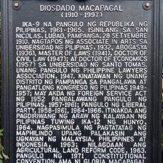
Diosdado Macapagal historical marker
11.6 km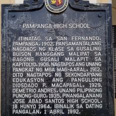
Pampanga High School historical marker
11.1 km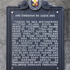
The Church of Santa Ana historical marker
262 m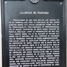
Province of Pampanga historical marker
11.6 km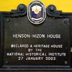
Henson–Hizon House historical marker
11.3 km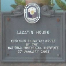
Lazatin House historical marker
11.3 km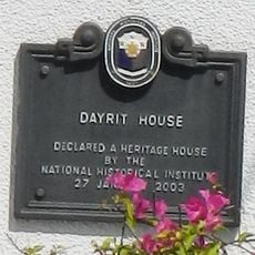
Dayrit House historical marker
11.1 km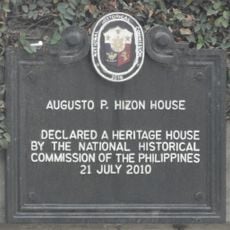
Augusto P. Hizon House historical marker
11 km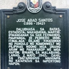
Jose Abad Santos historical marker
11.6 km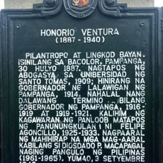
Honorio Ventura historical marker
11.6 kmVisited this place? Tap the stars to rate it and share your experience / photos with the community! Try now! You can cancel it anytime.
Discover hidden gems everywhere you go!
From secret cafés to breathtaking viewpoints, skip the crowded tourist spots and find places that match your style. Our app makes it easy with voice search, smart filtering, route optimization, and insider tips from travelers worldwide. Download now for the complete mobile experience.

A unique approach to discovering new places❞
— Le Figaro
All the places worth exploring❞
— France Info
A tailor-made excursion in just a few clicks❞
— 20 Minutes