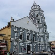
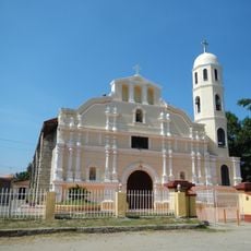
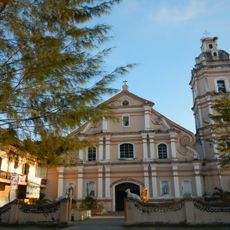
Santa Cruz, Coastal municipality in Zambales, Philippines
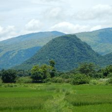
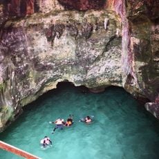
Santa Cruz is a coastal municipality in Zambales stretching along the West Philippine Sea, featuring sandy beaches, mountainous terrain, and agricultural land. The area sits at about 11 meters elevation, creating a landscape that blends flat coastal zones with inland hills.
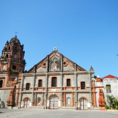
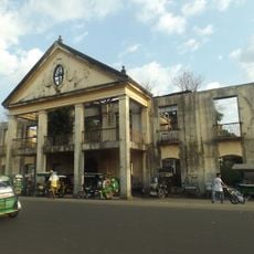
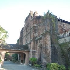
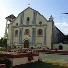
The municipality grew from a small fishing settlement during Spanish colonial times into a significant agricultural and maritime community. This transformation shaped its character as both a fishing and farming region over generations.
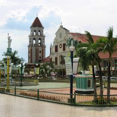
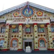
Local festivals here showcase regional traditions through folk dances, traditional music, and displays of locally grown crops and seafood products from coastal waters.
Regular bus and jeepney services link the municipality to neighboring towns and the provincial capital, as well as nearby commercial centers. Travel is easier outside the rainy season when roads are more accessible.
The area stands out for combining maritime and mountain environments, where people make their living from both fishing in coastal waters and farming inland. This dual livelihood makes the region economically diverse and less dependent on a single industry.
Location: Zambales
Elevation above the sea: 11 m
Shares border with: Infanta, Candelaria
Address: Santa Cruz, Zambales, Philippines
GPS coordinates: 15.76667,119.91667
Latest update: December 7, 2025 20:45
Hundred Islands National Park
49.8 km
Diocesan Shrine and Parish of San Andres
25.7 km
Apung Mamacalulu
47.2 km
Parish Church of Saints Peter and Paul
43.6 km
Saint Dominic de Guzman Parish Church
49.4 km
Pangasinan Provincial Capitol
44.9 km
Manleluag Spring Protected Landscape
39.9 km
Epiphany of Our Lord Co-Cathedral Parish
44.1 km
Alaminos Cathedral
43.8 km
Casa Real
43.8 km
Our Lady of Lourdes Parish Church
40.1 km
Saint Augustine Cathedral
49.5 km
Saint Joseph the Patriarch Parish Church
37.1 km
Santo Niño Parish Church
33.7 km
Masamirey Cove Resort
46.4 km
Zambales Provincial Capitol
49.6 km
Ramon Magsaysay historical marker
49.3 km
Ramos House historical marker
44.7 km
Casa Real of Lingayen historical marker
43.8 km
City of San Carlos historical marker
49.4 km
Ramos House historical marker
44.7 km
Iba historical marker
49.6 km
Church of San Carlos historical marker
49.4 km
The Launch historical marker
45 km
Imelda cave
52.4 km
Carlos P. Romulo historical marker
54.1 km
Eugenio Perez y Padlan historical marker
53.7 km
Lingayen Beach historical marker
45 kmVisited this place? Tap the stars to rate it and share your experience / photos with the community! Try now! You can cancel it anytime.
Discover hidden gems everywhere you go!
From secret cafés to breathtaking viewpoints, skip the crowded tourist spots and find places that match your style. Our app makes it easy with voice search, smart filtering, route optimization, and insider tips from travelers worldwide. Download now for the complete mobile experience.
A unique approach to discovering new places❞
— Le Figaro
All the places worth exploring❞
— France Info
A tailor-made excursion in just a few clicks❞
— 20 Minutes