·

Enable Location

We need your location to show you interesting places around you

Discover nearby places

Find interesting locations and hidden gems around you

Precise directions

Get accurate directions and distances to places

Your location is never shared with other users. It's only used when you tap the location button.

Lemery

Log in to your account

Start exploring — it's free

Trusted by 62,744 travelers worldwide

Continue with Google
Continue with Apple
or

We will send you a code to connect

By continuing, you accept our Terms and Conditions and our Privacy Policy

Check your inbox

We've sent a pincode in your inbox. Please enter the code below.

Lemery, Municipality in Batangas, Philippines

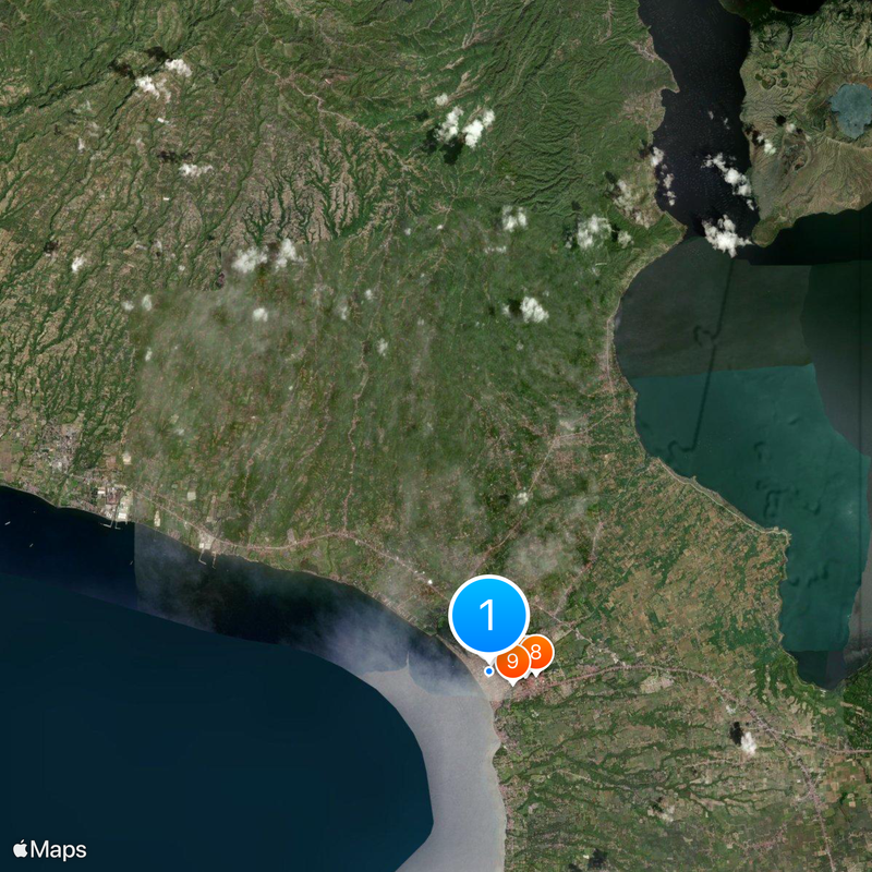
Lemery is a municipality along the southwestern coast of Luzon featuring beaches, mountains, and varied terrain. The town spreads across roughly 109 square kilometers with coastal areas and forested hills creating a mixed landscape.

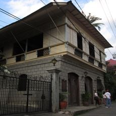
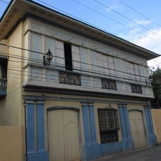
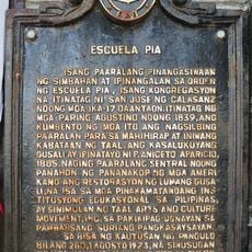
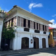
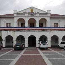
The area was originally called Punta before becoming the barrio of San Geronimo under Taal in 1818. It gained independence as a separate municipality on May 26, 1862.

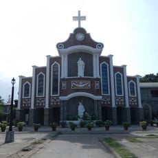
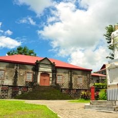
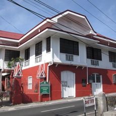
The Saint Roch Parish Church has long served as a spiritual focal point for the community. Locals celebrate the Sigpawan Festival with traditional dances that show their deep connection to the surrounding natural environment.

Buses reach the area from Manila via the South Luzon Expressway, with municipal vans, jeepneys, and tricycles connecting local areas. The dry season is the best time for exploration, and sturdy footwear helps when walking through the forested hills.

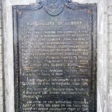
The municipality was named after a garrison commander, Captain Roberto Lemery, who developed such strong ties with locals that they requested to honor him after his death. This unusual tribute reveals how deeply the personal bonds between leader and community ran.

The community of curious travelers

AroundUs brings together thousands of curated places, local tips, and hidden gems, enriched daily by 60,000 contributors worldwide.

Start exploring
Location
Inception
May 26, 1862
Elevation above the sea
123 m
Reference
0401012000
Shares border with
Laurel
GPS coordinates
13.88103,120.91272
Latest update
December 20, 2025 16:15
« Lemery - Municipality in Batangas, Philippines » is provided by Around Us (aroundus.com). Images and texts are derived from Wikimedia project under a Creative Commons license. You are allowed to copy, distribute, and modify copies of this page, under the conditions set by the license, as long as this note is clearly visible.

Discover hidden gems everywhere you go!

From secret cafés to breathtaking viewpoints, skip the crowded tourist spots and find places that match your style. Our app makes it easy with voice search, smart filtering, route optimization, and insider tips from travelers worldwide. Download now for the complete mobile experience.

Around Us App Screenshot

A unique approach to discovering new places

Le Figaro

All the places worth exploring

France Info

A tailor-made excursion in just a few clicks

20 Minutes

Around Us
Travel Guide & Maps
Download

Send to your phone

QR Code
1

Open the camera app on your mobile.

2

Point at the QR code with your camera. A notification will appear.

3

Tap the notification to open the link.