San Jose, municipality of the Philippines in the province of Batangas
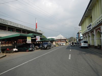
San Jose is a municipality in Batangas, Philippines, focused on poultry farming and egg production spread across rural green spaces. The town sits between two larger cities and connects them via a main highway, serving as a practical stop for travelers moving through the region.
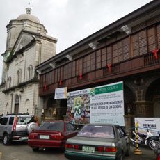
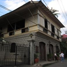
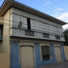
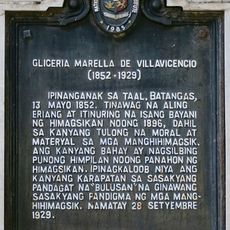
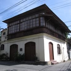
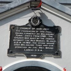
San Jose was established in 1765 and was originally part of Bauan before becoming independent. Once known as Malaquing Tubig, it endured destruction during both the Philippine-American War and World War II, events that shaped the resilience of its communities.
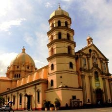
The town's name comes from Saint Joseph, its patron saint, and shapes the community's religious identity. Local life revolves around egg farming and poultry production, which define how residents see themselves and celebrate together throughout the year.
Reach San Jose by jeepney from Batangas City or Lipa for under 30 pesos, or by bus from Manila in about an hour and a half. Move around town easily with tricycles, small motorized vehicles that quickly connect most places in the area.
The town earned the title 'Egg Basket of the Philippines' through official recognition, celebrating its role as a leading egg producer. Each year during World Egg Day festivities, artisans create egg-based art and cooks showcase local dishes, turning this humble product into a source of community pride.
The community of curious travelers
AroundUs brings together thousands of curated places, local tips, and hidden gems, enriched daily by 60,000 contributors worldwide.