
San Luis, municipality of the Philippines in the province of Batangas
Location: Batangas
Inception: August 25, 1861
Elevation above the sea: 54 m
Shares border with: Taal, Bauan
GPS coordinates: 13.83333,120.93333
Latest update: April 6, 2025 04:15
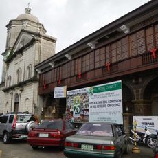
Bauan Church
9.4 km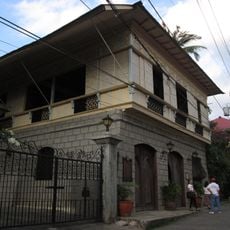
Casa Villavicencio
5.4 km
Agoncillo-Mariño House
5.3 km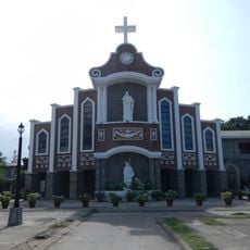
Lemery Church
5.9 km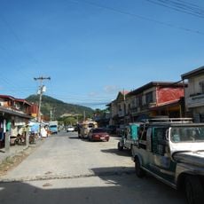
Anilao
9.4 km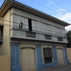
Villavicencio-Marella House
5.4 km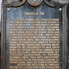
Escuela Pia historical marker
5.4 km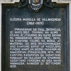
Gliceria Marella de Villavicencio historical marker
5.4 km
Tree House
14.4 km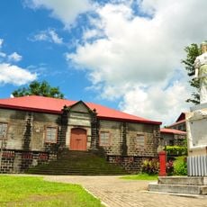
Escuela Pia
5.4 km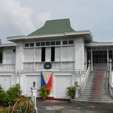
Don Gregorio Agoncillo Mansion
5 km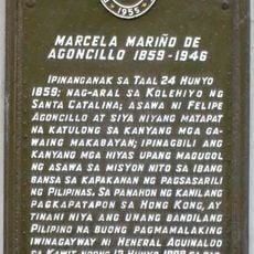
Marcela Mariño de Agoncillo historical marker
5.3 km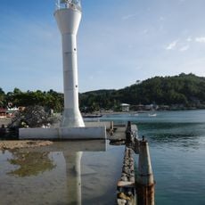
Anilao Light
13.5 km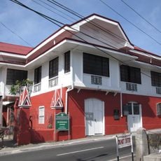
Leon Apacible Museum
5.4 km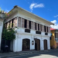
Galleria Taal
5.3 km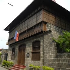
Ylagan–de la Rosa Ancestral House
5.1 km
Ylagan-de la Rosa Ancestral House historical marker
5.1 km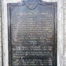
Municipality of Lemery historical marker
6 km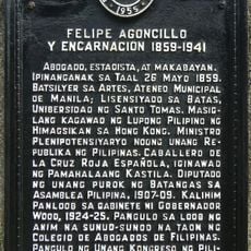
Felipe Agoncillo y Encarnacion historical marker
5.1 km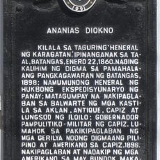
Ananias Diokno historical marker
5.2 km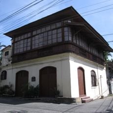
Goco Ancestral House
5.4 km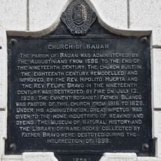
Church of Bauan historical marker
9.4 km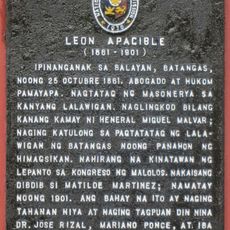
Leon Apacible historical marker
5.3 km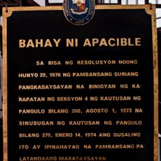
House of Apacible historical marker
5.4 km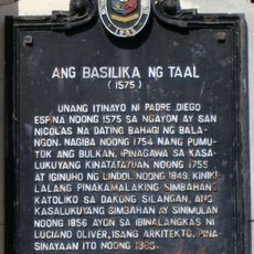
The Basilica of Taal historical marker
5.3 km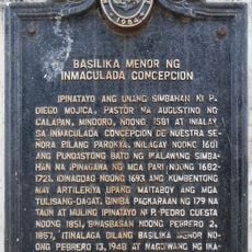
Minor Basilica of the Immaculate Conception historical marker
16.2 km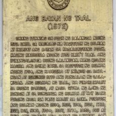
The Town of Taal historical marker
5.3 km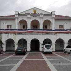
Taal Municipal Hall
5.3 kmReviews
Visited this place? Tap the stars to rate it and share your experience / photos with the community! Try now! You can cancel it anytime.
Discover hidden gems everywhere you go!
From secret cafés to breathtaking viewpoints, skip the crowded tourist spots and find places that match your style. Our app makes it easy with voice search, smart filtering, route optimization, and insider tips from travelers worldwide. Download now for the complete mobile experience.

A unique approach to discovering new places❞
— Le Figaro
All the places worth exploring❞
— France Info
A tailor-made excursion in just a few clicks❞
— 20 Minutes