Naic, Municipality in Cavite, Philippines
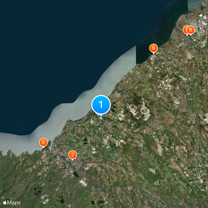
Naic is a municipality in Cavite Province situated along Manila Bay, combining residential neighborhoods, commercial areas, and farmland. The town is divided into 30 barangays, each with its own local administrative services.
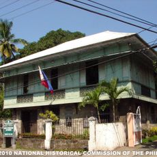
The Jesuits established Naic in 1791 as an independent town, separating it from Maragondon to create a distinct administrative center. This founding moment shaped the municipality's identity and governance structure.
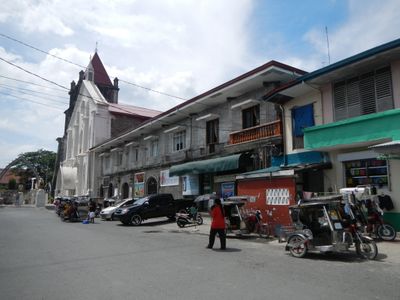
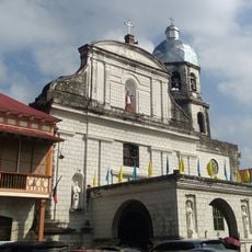
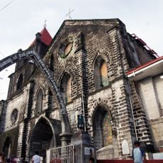
The Diocesan Shrine of the Immaculate Conception serves as a gathering place where residents celebrate their Catholic faith throughout the year. This religious landmark shapes the spiritual rhythm of daily life in the community.
The town is easy to navigate, with local government offices scattered throughout the 30 barangays to assist visitors. Main roads connect the different areas, making it straightforward to move around the municipality.
Local authorities introduced an ordinance that prevents livestock from roaming the streets, a measure that became a model for other Philippine towns. This practical rule reflects how the municipality has tackled everyday challenges through local governance.
The community of curious travelers
AroundUs brings together thousands of curated places, local tips, and hidden gems, enriched daily by 60,000 contributors worldwide.