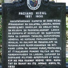
Los Baños, Research municipality in Laguna, Philippines
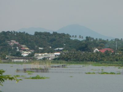
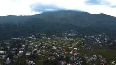
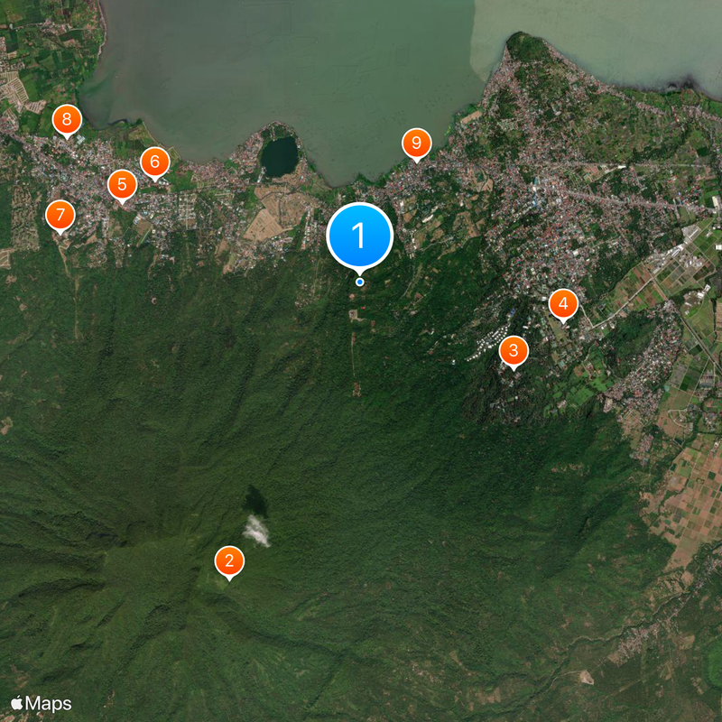
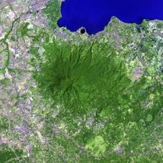
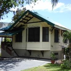
Los Baños is a municipality at the foot of Mount Makiling in Laguna province in the Philippines. The town sits between the volcano to the south and Laguna de Bay to the north and consists of fourteen barangays such as Anos, Bambang and Batong Malake.
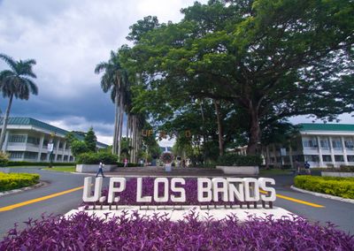
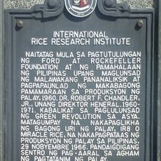
A Franciscan friar built therapeutic baths around natural hot springs in 1589, which gave the settlement its name. The University of the Philippines and the international rice research institute established themselves here in the 20th century, transforming the area into a center for agricultural and environmental science.
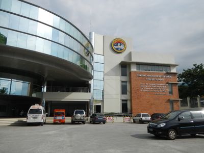
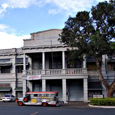
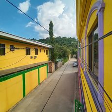
Residents refer to the town by its thermal springs, and this name appears on street signs, shops and public buildings throughout the center. Students and researchers from around the world work on the sprawling university campus and in the rice research laboratories, where fields and greenhouses line the roads.
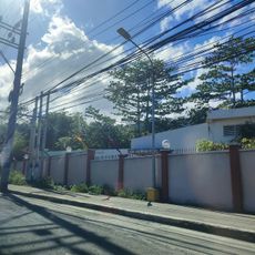
The town is best reached by private vehicle or local jeepneys that run between the different barangays. Visitors should wear comfortable shoes when exploring the area, as many roads lead uphill toward the mountain.
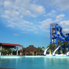
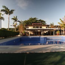
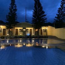
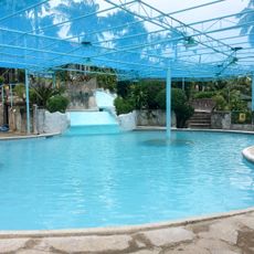
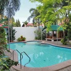
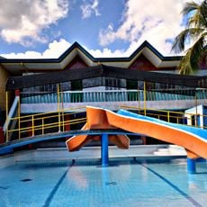
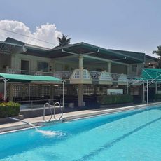
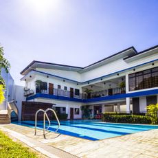
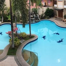
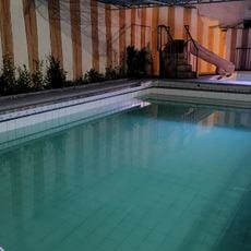
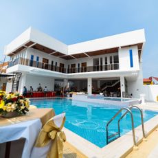
The geothermal water that emerges from the mountain maintains a constant temperature between 35 and 45 degrees Celsius throughout the year. Several public and private bathhouses around the town use these natural springs directly, without artificial heating.
The community of curious travelers
AroundUs brings together thousands of curated places, local tips, and hidden gems, enriched daily by 60,000 contributors worldwide.