Atimonan, municipality of the Philippines in the province of Quezon
Atimonan is a small town in Quezon province with quiet streets and a layout centered around the sea and farmland. It features pebble and stone beaches, coconut trees lining the shore, modest homes near the water, and simple shops serving local dishes and fresh seafood.
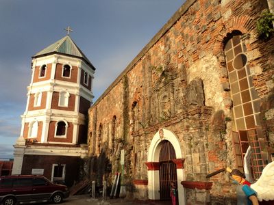
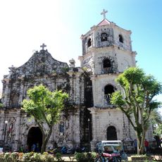
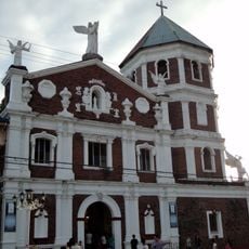
The town was founded in 1608 by a respected leader named Simeona Mangaba, known as Ate Monang, and grew along what is now called the Atimonan River. An observation tower built in 1872 stands as a reminder of the time when locals defended their community against pirates.
Atimonan is shaped by people whose lives revolve around fishing and farming. Visitors can observe how locals use traditional methods and how families organize their daily routines around nature and seasonal cycles.
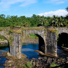
The town is accessible by local buses that depart regularly from Manila and take about four hours to arrive. Once there, visitors can use jeepneys and tricycles to move around and reach the beaches, caves, and waterfalls scattered throughout the area.
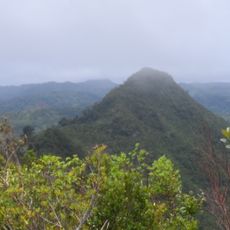
The town is reached via a famous winding road called Bitukang Manok with sharp hairpin turns that snakes through the mountains of Quezon National Park. This challenging drive offers views of thick forests and rolling hills before descending back into the quiet coastal area.
The community of curious travelers
AroundUs brings together thousands of curated places, local tips, and hidden gems, enriched daily by 60,000 contributors worldwide.