Mauban, municipality of the Philippines in the province of Quezon
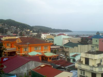
Mauban is a small municipality in Quezon Province on the Philippines, situated along the coast and surrounded by green hills and rocky cliffs overlooking Lamon Bay. The town spreads across a compact area with modest houses, small shops, and open spaces where tree-lined streets offer easy walking routes for exploring daily life.
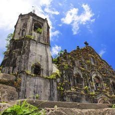
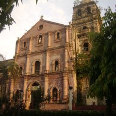
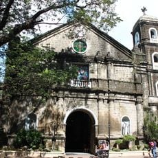
The town developed as a quiet port where traders and fishermen gathered for centuries. Local heroes and traditions passed down through generations shaped its character, with stories still told by older residents and reflected in community festivals and celebrations.
The town's life revolves around fishing and farming, with residents working closely during busy seasons like planting and harvest time. Celebrations and festivals bring people together to share food, music, and dance, reflecting local traditions and the strong bonds within families and the wider community.
The town is easy to explore on foot or by bicycle, with minimal traffic and crowds. Bring cash as many small shops do not accept cards, and remember to show respect for local customs, particularly when visiting community events or homes.
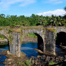
The legend of Tinalunan tells of two lovers from feuding families who jumped from a tall rock wall, their sacrifice immortalized by two identical stones in the sea called Magasawang Bato. These rocks are walkable at low tide and stand as a physical reminder of an ancient love story still remembered by locals.
The community of curious travelers
AroundUs brings together thousands of curated places, local tips, and hidden gems, enriched daily by 60,000 contributors worldwide.