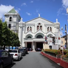
Lucena, Administrative center in Calabarzon Region, Philippines.
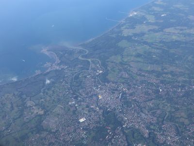
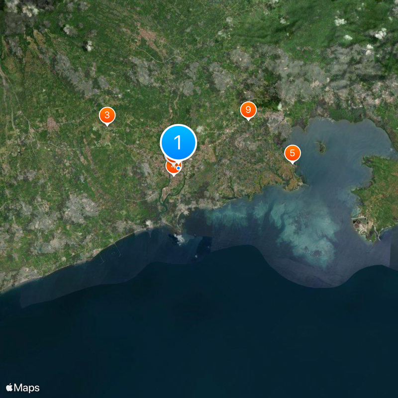
Lucena is a city in the Calabarzon region situated along Tayabas Bay with mountains visible in the background. The city spans about 80 square kilometers and is divided into 33 administrative districts called barangays.
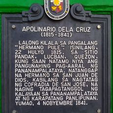
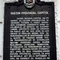
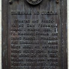
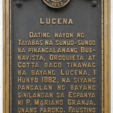
The settlement was originally called Kalilayan and was renamed Lucena in 1879. During the American colonial period, it became the capital of Tayabas province in 1901.
The Pasayahan Festival brings music and parades to the streets, and the city is known for traditional noodle dishes and regional specialties that residents prepare daily. These celebrations and culinary traditions shape the everyday life of the community.
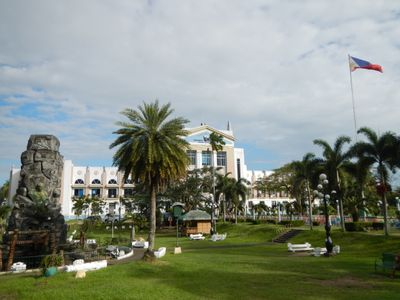
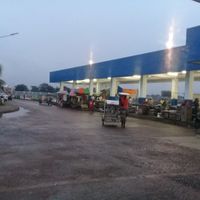
The central business district contains shopping malls, markets, and commercial establishments where you can find most daily needs. Most areas are easily accessible on foot or by local transportation.
The city serves as a major fishing port with processing industries focused on coconut products. This connection between marine resources and agricultural manufacturing makes it a distribution hub for south-central Luzon.
The community of curious travelers
AroundUs brings together thousands of curated places, local tips, and hidden gems, enriched daily by 60,000 contributors worldwide.