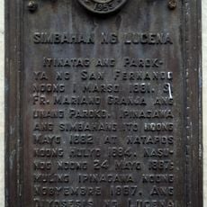
Dalahican, Coastal district in Lucena City, Philippines.
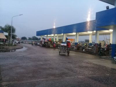
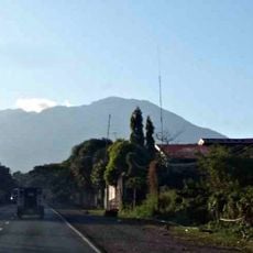
Dalahican is a coastal district in Lucena City located on the eastern shores of Quezon Province. The barangay contains residential neighborhoods, local markets, and waterfront facilities where fishing and small maritime activities support local livelihoods.
The district took shape as an economic zone following administrative changes in the 1990s that reorganized local government structures. Its development has been tied to maritime activities and fishing since that reorganization.
Local festivals throughout the year bring residents together in shared celebrations that reflect their values and way of life. These gatherings show how important community bonds are to the people living here.
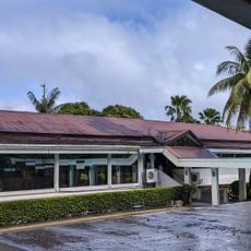
The district has schools, places of worship, and small shops spread throughout for daily needs. Walking through residential areas you will find local market stalls and small repair workshops serving the community.
The district blends administrative functions with daily maritime work and fishing activities in an urban setting. This mix of city life and waterfront work creates a distinctive settlement pattern rarely seen in formal municipal areas.
The community of curious travelers
AroundUs brings together thousands of curated places, local tips, and hidden gems, enriched daily by 60,000 contributors worldwide.