
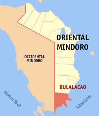
Bulalacao, municipality of the Philippines in the province of Oriental Mindoro
Location: Oriental Mindoro
Elevation above the sea: 42 m
Website: http://www.bulalacaomindoro.com/
Shares border with: San Jose, Mansalay, Caluya
Website: http://bulalacaomindoro.com
GPS coordinates: 12.32500,121.34300
Latest update: March 18, 2025 14:36
Mounts Iglit–Baco National Park
65.5 km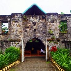
Simbahang Bato
106.5 km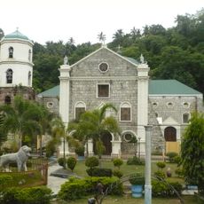
Romblon Cathedral
104.5 km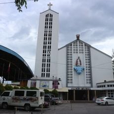
Santo Niño Cathedral
122.6 km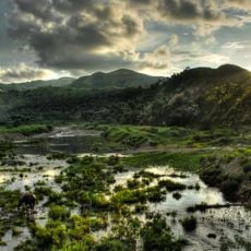
Northwest Panay Peninsula Natural Park
85.8 km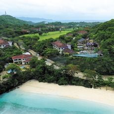
Fairways and Bluewater Boracay
73.8 km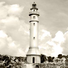
Maniguin Island lighthouse
89.6 km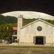
San Nicolas de Tolentino Parish Church
107.1 km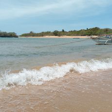
Sibay Island
54.7 km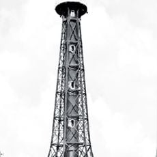
Apo Reef Light
107.6 km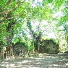
Kuta Church Ruins
48 km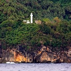
Gorda Point Lighthouse
95.6 km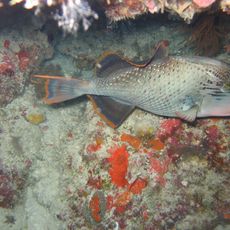
Apo Reef Natural Park
113.1 km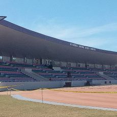
Occidental Mindoro Sports Complex
31.1 km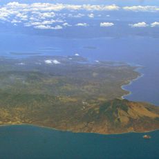
Islas de los Tres Reyes
115.9 km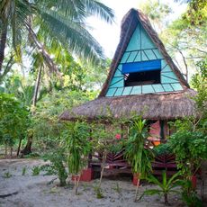
Pandan Island Resort
87.3 km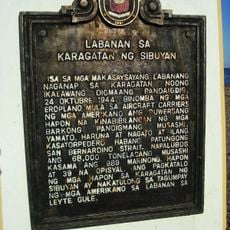
Battle of the Sibuyan Sea historical marker
78 km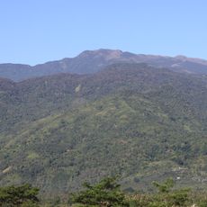
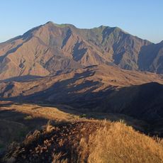
Mount Halcon
111 km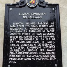
Old Church of Sablayan historical marker
84.1 km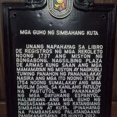
Ruins of Kuta Church historical marker
48 km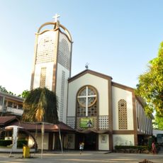
Saint Joseph Parish Church
49.6 km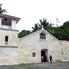
Old Sablayan Church
84.1 km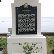
Gabriel Fabella historical marker
107.1 km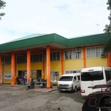
Bongabong Municipal Hall
49.6 km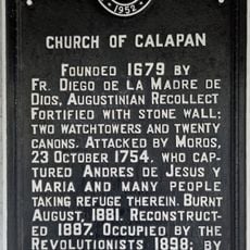
Church of Calapan historical marker
122.6 km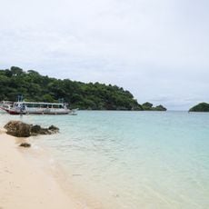
Ilig Iligan Beach
73.3 km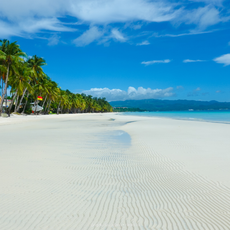
White Beach Boracay
75.3 km
Country Woods Resort
81.4 kmReviews
Visited this place? Tap the stars to rate it and share your experience / photos with the community! Try now! You can cancel it anytime.
Discover hidden gems everywhere you go!
From secret cafés to breathtaking viewpoints, skip the crowded tourist spots and find places that match your style. Our app makes it easy with voice search, smart filtering, route optimization, and insider tips from travelers worldwide. Download now for the complete mobile experience.

A unique approach to discovering new places❞
— Le Figaro
All the places worth exploring❞
— France Info
A tailor-made excursion in just a few clicks❞
— 20 Minutes