Enable Location

We need your location to show you interesting places around you

Discover nearby places

Find interesting locations and hidden gems around you

Precise directions

Get accurate directions and distances to places

Your location is never shared with other users. It's only used when you tap the location button.

Oriental Mindoro

Log in to your account

Start exploring — it's free

Trusted by 62,041 travelers worldwide

Continue with Google
Continue with Apple
or

We will send you a code to connect

By continuing, you accept our Terms and Conditions and our Privacy Policy

Check your inbox

We've sent a pincode in your inbox. Please enter the code below.

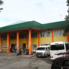
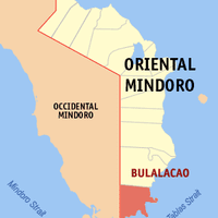
Oriental Mindoro, Administrative province on Mindoro island, Philippines

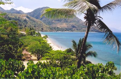
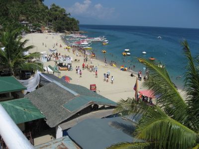
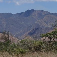
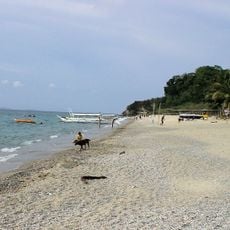
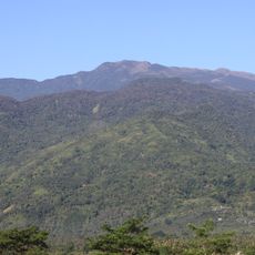
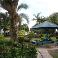
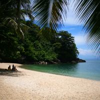
Oriental Mindoro is an administrative province covering the eastern portion of Mindoro island in the Philippines, with coastal lowlands giving way to forested mountain ranges. The landscape ranges from black sand beaches and mangrove forests along the shore to cloud forests at higher elevations, with central mountain ridges separating the province from its western neighbor.

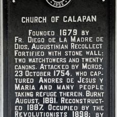
The eastern half of Mindoro became a separate province in 1950 through national legislation, after being administered together with the western portion under a single government. During the American colonial period, the area formed part of a larger administrative district that included several islands.

The name Mindoro derives from Spanish colonial miners who called the island a mine of gold, though little precious metal was ever extracted. In the highland communities, visitors can observe syllabic writing on bamboo strips, a practice maintained for centuries by local groups who preserve their linguistic traditions.

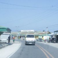
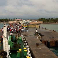
Visitors reach the province by taking ferries from Manila to Calapan, which operate multiple times daily and take around two hours. Roads in the interior pass through mountain terrain with steep grades, so a vehicle suitable for rough conditions is helpful when traveling beyond the main routes.

The waters off the coast sit within the Coral Triangle and host an exceptionally high number of marine species in a compact area. Fishermen from coastal villages use traditional outrigger boats to harvest their daily catches in these species-rich waters.

The community of curious travelers

AroundUs brings together thousands of curated places, local tips, and hidden gems, enriched daily by 60,000 contributors worldwide.

Start exploring
Location
Inception
1950
Capital city
Calapan
Reference
1705200000
Shares border with
Occidental Mindoro, Romblon
GPS coordinates
13.00000,121.41667
Latest update
December 13, 2025 17:36
« Oriental Mindoro - Administrative province on Mindoro island, Philippines » is provided by Around Us (aroundus.com). Images and texts are derived from Wikimedia project under a Creative Commons license. You are allowed to copy, distribute, and modify copies of this page, under the conditions set by the license, as long as this note is clearly visible.

Discover hidden gems everywhere you go!

From secret cafés to breathtaking viewpoints, skip the crowded tourist spots and find places that match your style. Our app makes it easy with voice search, smart filtering, route optimization, and insider tips from travelers worldwide. Download now for the complete mobile experience.

Around Us App Screenshot

A unique approach to discovering new places

Le Figaro

All the places worth exploring

France Info

A tailor-made excursion in just a few clicks

20 Minutes

Around Us
Travel Guide & Maps
Download

Send to your phone

QR Code
1

Open the camera app on your mobile.

2

Point at the QR code with your camera. A notification will appear.

3

Tap the notification to open the link.