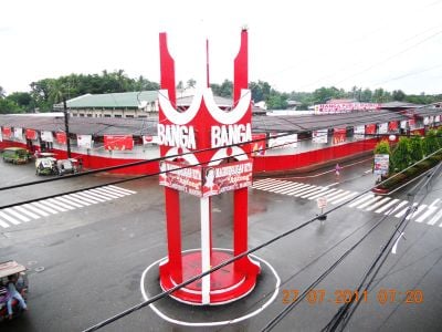
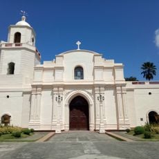
Banga, Municipality in South Cotabato, Philippines
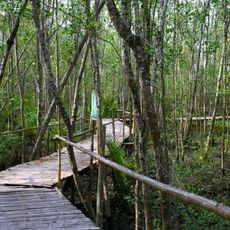
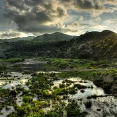
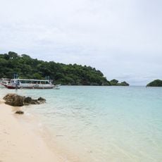
Banga is a municipality in South Cotabato that spreads across multiple agricultural zones with river access throughout its territory. The area supports extensive rice and corn production across 22 barangays, forming the backbone of local economic activity.
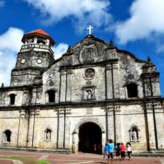
Banga originated from the Allah Valley Project as a Settlement District in 1941 and later became a municipality through Presidential Proclamation 612 in 1953. This transition from a planned settlement to an independent administrative unit marked a significant shift in local governance and identity.
The annual Pasundayag Festival in March brings together local communities to celebrate their harvest and showcase traditional performances rooted in farming life. The event reveals how agriculture shapes daily customs and community bonds in the area.
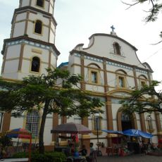
The national highway connects the municipality to General Santos and Cotabato City, making travel straightforward and accessible. The municipal market operates with organized zones where visitors can find local agricultural products and everyday goods.
The name Banga comes from Buanga palm trees that once covered the landscape before human settlement transformed the area. These trees left a lasting mark on the place that is still remembered in its name.
GPS coordinates: 11.63938,122.33258
Latest update: December 10, 2025 15:54
Santa Monica Parish Church
51.2 km
Bakhawan Eco-Park
10.5 km
Sacred Heart of Jesus
44.3 km
Immaculate Conception Metropolitan Cathedral
46.3 km
Kalibo Cathedral
8.6 km
Northwest Panay Peninsula Natural Park
47 km
Fairways and Bluewater Boracay
58.6 kmMount Madia-as
33.4 km
Sampaguita Gardens
11.5 km
Nineteen Martyrs of Aklan historical marker
8.1 km
Jose Cortes Altavas historical marker
20.3 km
Goding Ramos Park
7.5 km
Francisco del Castillo historical marker
8.5 km
Capture of General Ananias Diokno historical marker
16.2 km
Gabriel M. Reyes historical marker
8.5 km
Candido Iban historical marker
5.5 km
Church of Pan-ay historical marker
51.2 km
Aklan Freedom Shrine
8.1 km
Capiz Provincial Capitol
46.4 km
Malinao Church
2.8 km
Aklan Museum
8.5 km
Capitol of Capiz historical marker
46.4 km
Memorare historical marker (heroes of Aklan)
7.4 km
Church of Malinao historical marker
2.8 km
Filamer Christian University historical marker
46.3 km
Ilig Iligan Beach
59.4 km
White Beach Boracay
57 km
Manuel Acuña Roxas historical marker
46.2 kmVisited this place? Tap the stars to rate it and share your experience / photos with the community! Try now! You can cancel it anytime.
Discover hidden gems everywhere you go!
From secret cafés to breathtaking viewpoints, skip the crowded tourist spots and find places that match your style. Our app makes it easy with voice search, smart filtering, route optimization, and insider tips from travelers worldwide. Download now for the complete mobile experience.
A unique approach to discovering new places❞
— Le Figaro
All the places worth exploring❞
— France Info
A tailor-made excursion in just a few clicks❞
— 20 Minutes