Romblon, Administrative province in Mimaropa region, Philippines
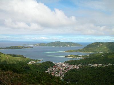
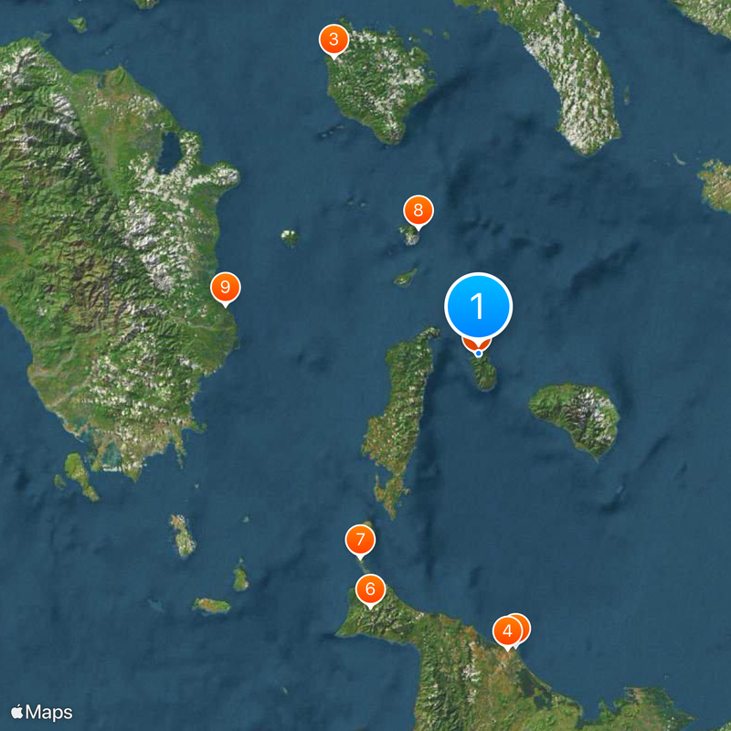
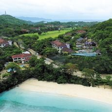
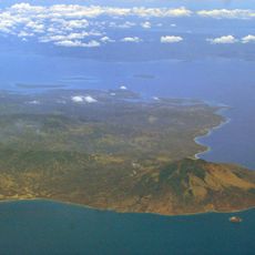
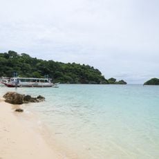
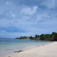
Romblon is a province made up of several islands in the Sibuyan Sea, with Tablas, Sibuyan, and Romblon as its main landmasses. The territory spreads across different islands with varied landscapes, from flat coastal areas to hilly terrain in the interior.
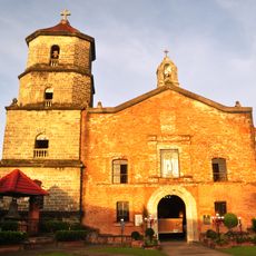
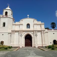
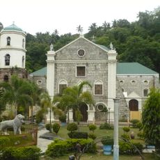
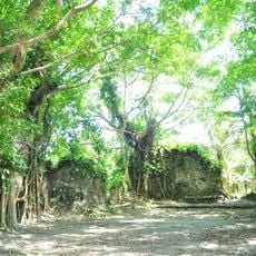
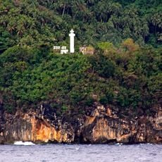
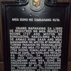
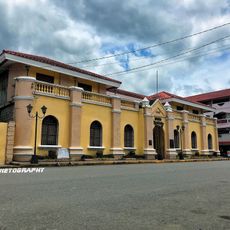
Spanish colonizers arrived in Romblon in 1569 and established control by constructing fortifications including Fort San Andres. The remains of this fortress are still visible today, marking the period of Spanish administrative presence in the region.
The people here speak three different languages and follow distinct traditions that shape daily life across the islands. Walking through villages, you notice these cultural differences reflected in local celebrations and the way families gather and work together.
Ferries run regularly from Romblon port, connecting the different islands and making travel between them straightforward. For getting around locally, renting a motorbike is the most practical way to explore and reach different parts of each island.
The province has extensive marble quarries that produce high-quality stone, which shapes much of the local economy. This marble extraction is a dominant activity visible across the islands and leaves a notable mark on the landscape.
Location: Romblon
Elevation above the sea: 43 m
Shares border with: San Agustin, Magdiwang
Website: http://romblon.gov.ph
GPS coordinates: 12.57887,122.27466
Latest update: December 20, 2025 15:52
Bakhawan Eco-Park
96.6 km
Diocese of Boac
107.6 km
Kalibo Cathedral
97.2 km
Romblon Cathedral
659 m
Northwest Panay Peninsula Natural Park
90.2 km
Fairways and Bluewater Boracay
77.1 km
San Nicolas de Tolentino Parish Church
45.3 km
Kuta Church Ruins
84 km
Gorda Point Lighthouse
15.9 km
Marinduque Wildlife Sanctuary
99.7 km
Islas de los Tres Reyes
88.8 km
Battle of the Sibuyan Sea historical marker
42.5 km
Nineteen Martyrs of Aklan historical marker
97.8 km
Goding Ramos Park
98.7 km
Francisco del Castillo historical marker
97.3 km
Saint Joseph Parish Church
87.7 km
Gabriel M. Reyes historical marker
97.2 km
Ruins of Kuta Church historical marker
84.4 km
Candido Iban historical marker
102.4 km
Aklan Freedom Shrine
97.8 km
Gabriel Fabella historical marker
45.2 km
Aklan Museum
97.3 km
Bongabong Municipal Hall
87.4 km
Memorare historical marker (heroes of Aklan)
98.7 km
Ilig Iligan Beach
75.4 km
White Beach Boracay
78.7 kmPort of Poctoy
36.4 km
Talisay Beach
45.7 kmVisited this place? Tap the stars to rate it and share your experience / photos with the community! Try now! You can cancel it anytime.
Discover hidden gems everywhere you go!
From secret cafés to breathtaking viewpoints, skip the crowded tourist spots and find places that match your style. Our app makes it easy with voice search, smart filtering, route optimization, and insider tips from travelers worldwide. Download now for the complete mobile experience.
A unique approach to discovering new places❞
— Le Figaro
All the places worth exploring❞
— France Info
A tailor-made excursion in just a few clicks❞
— 20 Minutes