
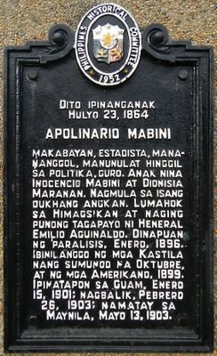
Apolinario Mabini historical marker
Apolinario Mabini historical marker, PHC historical marker for Apolinario Mabini in Tanauan
Location: Tanauan
Inception: 1952
Creator: National Historical Commission of the Philippines
GPS coordinates: 14.10090,121.09921
Latest update: March 7, 2025 23:16
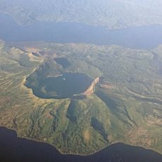
Taal Volcano
14.9 km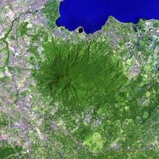
Mount Makiling
11.4 km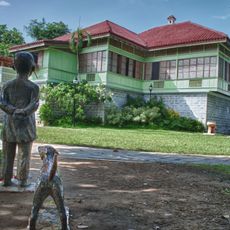
Rizal Shrine
14.5 km
People's Park in the Sky
9.5 km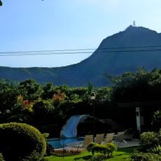
Mount Sungay
9.5 km
Calamba Claypot
14.6 km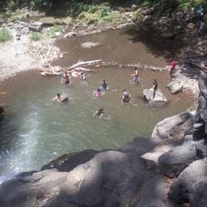
Matang Tubig
12.1 km
UPLB Museum of Natural History
16 km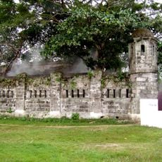
Cuartel de Santo Domingo
15.4 km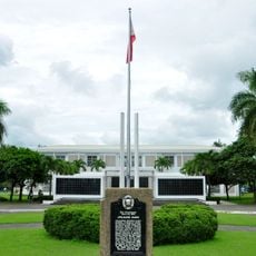
Apolinario Mabini Shrine
35 m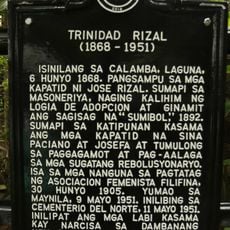
Trinidad Rizal historical marker
16.2 km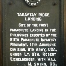
Tagaytay Ridge Landing historical marker
14.9 km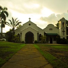
Church Among the Palms
16.7 km
General Paciano Rizal Shrine
16.2 km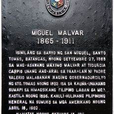
Miguel Malvar historical marker
4.8 km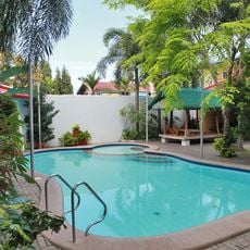
Dona Salud Resort
12.7 km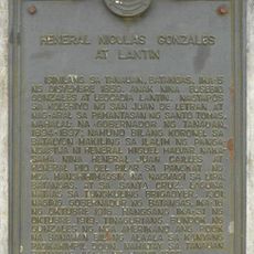
General Nicolas Gonzales y Lantin historical marker
9.6 km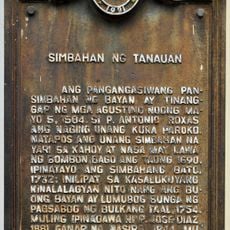
Church of Tanauan historical marker
6.1 km
Banio kreek
15.1 km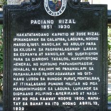
Paciano Rizal historical marker
16.2 km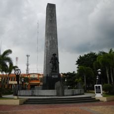
Malvar Shrine
4.8 km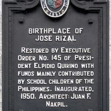
Birthplace of Jose Rizal historical marker
14.5 km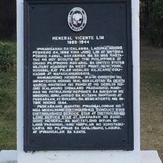
General Vicente Lim historical marker
14.5 km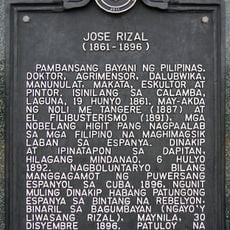
Jose Rizal historical marker
12.4 km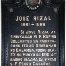
Jose Rizal historical marker
14.6 km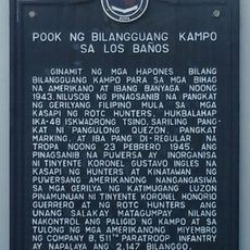
Site of the Internment Camp at Los Baños historical marker
16.9 km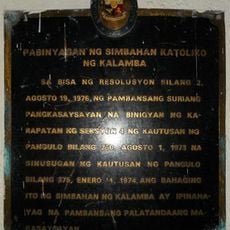
Baptistry of the Catholic Church of Calamba historical marker
14.6 km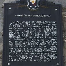
Barracks of Santo Domingo historical marker
15.4 kmReviews
Visited this place? Tap the stars to rate it and share your experience / photos with the community! Try now! You can cancel it anytime.
Discover hidden gems everywhere you go!
From secret cafés to breathtaking viewpoints, skip the crowded tourist spots and find places that match your style. Our app makes it easy with voice search, smart filtering, route optimization, and insider tips from travelers worldwide. Download now for the complete mobile experience.

A unique approach to discovering new places❞
— Le Figaro
All the places worth exploring❞
— France Info
A tailor-made excursion in just a few clicks❞
— 20 Minutes