High Peak, Berggipfel auf den Philippinen
Location: Zambales
Elevation above the sea: 2,037 m
GPS coordinates: 15.48250,120.12056
Latest update: March 2, 2025 21:59

Pinatubo
44.9 km
New Clark City
46.6 km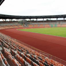
New Clark City Athletics Stadium
46.9 km
Officer Candidate School – Philippines
43.5 km
Monasterio de Tarlac
33.7 km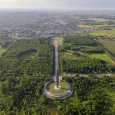
Capas National Shrine
48 km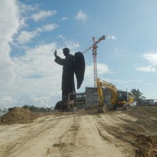
St. Vincent Ferrer Statue
50.9 km
Diocesan Shrine and Parish of San Andres
19.4 km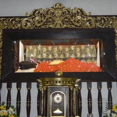
Apung Mamacalulu
45.8 km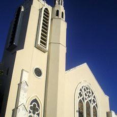
Tarlac Cathedral
50.2 km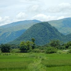
Manleluag Spring Protected Landscape
30.1 km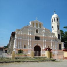
Saint Augustine Cathedral
23.1 km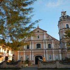
Saint Joseph the Patriarch Parish Church
46.9 km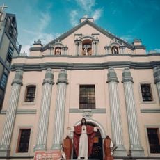
Bayambang Plaza
51.2 km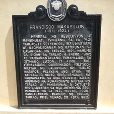
Francisco Makabulos historical marker
50.1 km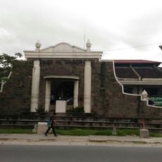
Diwa ng Tarlac
50.1 km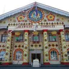
Zambales Provincial Capitol
23 km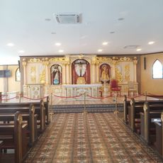
Saint Vincent Ferrer Prayer Park
51.1 km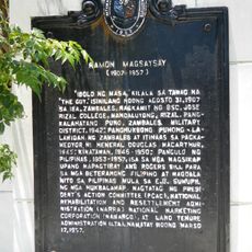
Ramon Magsaysay historical marker
23.1 km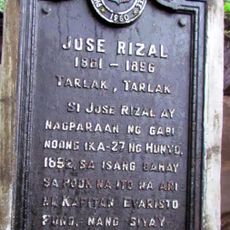
Jose Rizal historical marker
50.4 km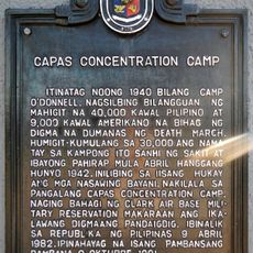
Capas Concentration Camp historical marker
47.9 km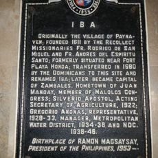
Iba historical marker
23 km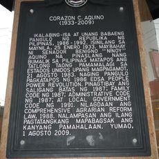
Corazon C. Aquino historical marker
50.2 km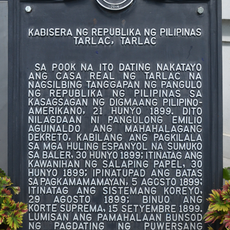
Capital of the Republic of the Philippines historical marker
50 km
Capas National Shrine Obelisk
47.9 km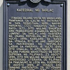
Cathedral of Tarlac historical marker
50.2 km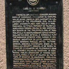
Carlos P. Romulo historical marker
38.9 km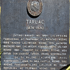
Tarlac historical marker
50 kmReviews
Visited this place? Tap the stars to rate it and share your experience / photos with the community! Try now! You can cancel it anytime.
Discover hidden gems everywhere you go!
From secret cafés to breathtaking viewpoints, skip the crowded tourist spots and find places that match your style. Our app makes it easy with voice search, smart filtering, route optimization, and insider tips from travelers worldwide. Download now for the complete mobile experience.

A unique approach to discovering new places❞
— Le Figaro
All the places worth exploring❞
— France Info
A tailor-made excursion in just a few clicks❞
— 20 Minutes