
Managok, settlement in the Philippines
Location: Malaybalay
Elevation above the sea: 346 m
GPS coordinates: 8.02889,125.18861
Latest update: May 11, 2025 17:53
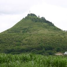
Musuan Peak
21.4 km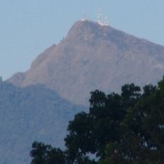
Mount Kitanglad
32.5 km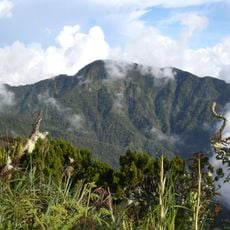
Mount Dulang-dulang
30.9 km
Mount Ragang
76.4 km
Agusan Marsh Wildlife Sanctuary
84.1 km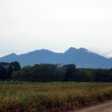
Kitanglad Mountain Range
31.7 km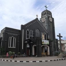
Saint Augustine Metropolitan Cathedral
78.1 km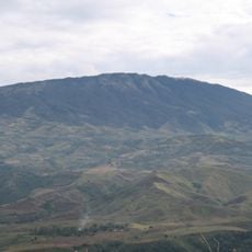
Balatukan
83.7 km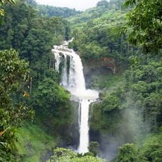
Limunsudan Falls
82.3 km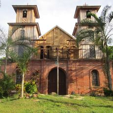
Immaculate Conception Parish Church
84.2 km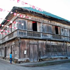
Vega Ancestral House
91.5 km
Epol Falls
64.3 km
Dahilayan Adventure Park
41.2 km
Seven Seas Waterpark & Resort
84 km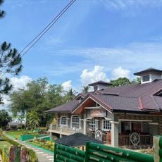
RR Family Spring Resort
28.2 km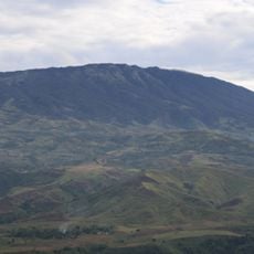
Mount Balatukan Range Natural Park
88.8 km
Tagum Cathedral
93.9 km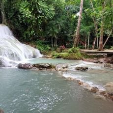
Panas Falls
88.8 km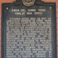
Casa del Chino Ygua historical marker
78 km
Malaybalay Cathedral
15.4 km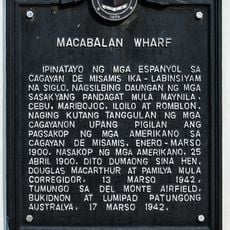
Macabalan Wharf historical marker
78.1 km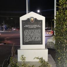
Raising of the Philippine Flag in Cagayan de Misamis historical marker
78.2 km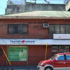
Casa del Chino Igua
78 km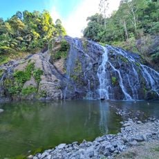
Awao Falls 2 and 3
87.8 km
Tagum Historical & Cultural Center
93.8 km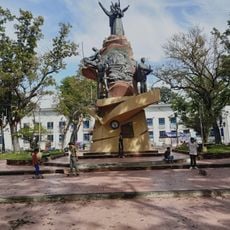
Museum of Three Cultures
78.1 km
Museo de Oro
77.8 km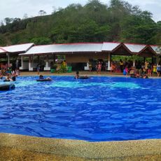
MGG Resort
45 kmReviews
Visited this place? Tap the stars to rate it and share your experience / photos with the community! Try now! You can cancel it anytime.
Discover hidden gems everywhere you go!
From secret cafés to breathtaking viewpoints, skip the crowded tourist spots and find places that match your style. Our app makes it easy with voice search, smart filtering, route optimization, and insider tips from travelers worldwide. Download now for the complete mobile experience.

A unique approach to discovering new places❞
— Le Figaro
All the places worth exploring❞
— France Info
A tailor-made excursion in just a few clicks❞
— 20 Minutes