Download the around.us app
For a better experience, use our mobile application.
Nanga Parbat

Nanga Parbat

Popularity :

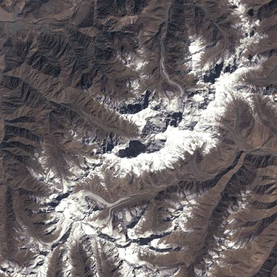
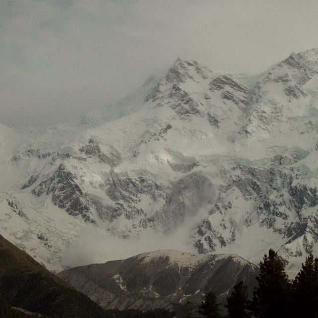
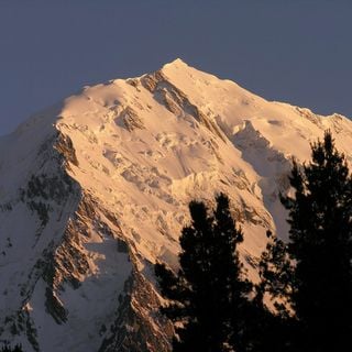
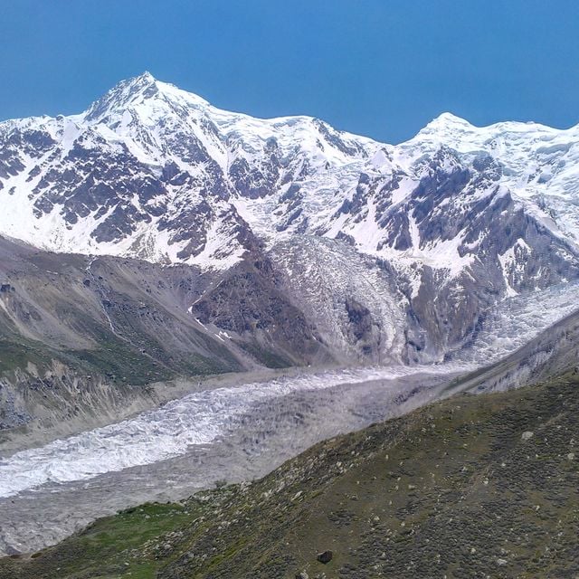
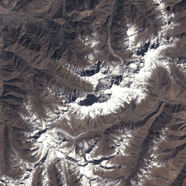
Nanga Parbat, Mountain in Pakistan

Nanga Parbat is the ninth highest mountain in the world at 8,126 meters above sea level.

Known as the 'Killer Mountain', Nanga Parbat was first summited in 1953.

The name Nanga Parbat means 'Naked Mountain' in Sanskrit.

Nanga Parbat is notorious for its difficulty and requires seasoned climbers.

It features the Rupal Face, considered the highest mountain face in the world.

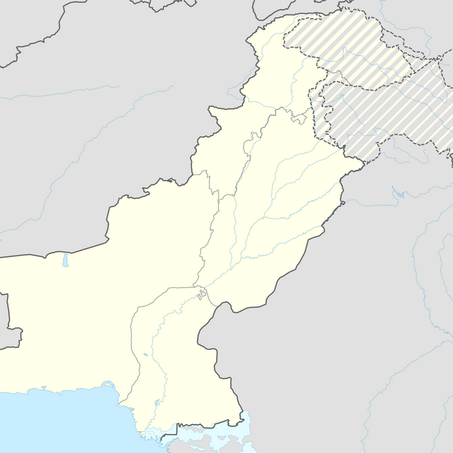
Location: Gilgit-Baltistan

Elevation above the sea: 8,126 m

Sources: Wikimedia, OpenStreetMap

Filters

Nanga Parbat Mountain in Pakistan

Nanga Parbat is the ninth highest mountain in the world at 8,126 meters above sea level.

Pakistan 0 m
Nanga Parbat
Nanga Parbat Mountain in Pakistan
Pakistan 0 m
East Peaks Summit in Pakistan

Pakistan 3.5 km
East Peaks
East Peaks Summit in Pakistan
Pakistan 3.5 km
Rakhiot Peak

Pakistan 4.9 km
Rakhiot Peak
Pakistan 4.9 km
Herrligkoffer base camp Base camp at Nanga Parbat, Pakistan

Pakistan 6.3 km
Herrligkoffer base camp
Herrligkoffer base camp Base camp at Nanga Parbat, Pakistan
Pakistan 6.3 km
Ganalo Peak

Pakistan 6.4 km
Ganalo Peak
Pakistan 6.4 km
Diama-Gletscher

Pakistan 7.5 km
Diama-Gletscher
Pakistan 7.5 km
Rakhiot Glacier Glacier in Gilgit-Baltistan, Pakistan

Pakistan 11.3 km
Rakhiot Glacier
Rakhiot Glacier Glacier in Gilgit-Baltistan, Pakistan
Pakistan 11.3 km
Toshain Glacier Gletscher im Nanga-Parbat-Massiv im westlichen Himalaya

Pakistan 13.1 km
Toshain Glacier
Toshain Glacier Gletscher im Nanga-Parbat-Massiv im westlichen Himalaya
Pakistan 13.1 km
Fairy Meadows National Park in Pakistan

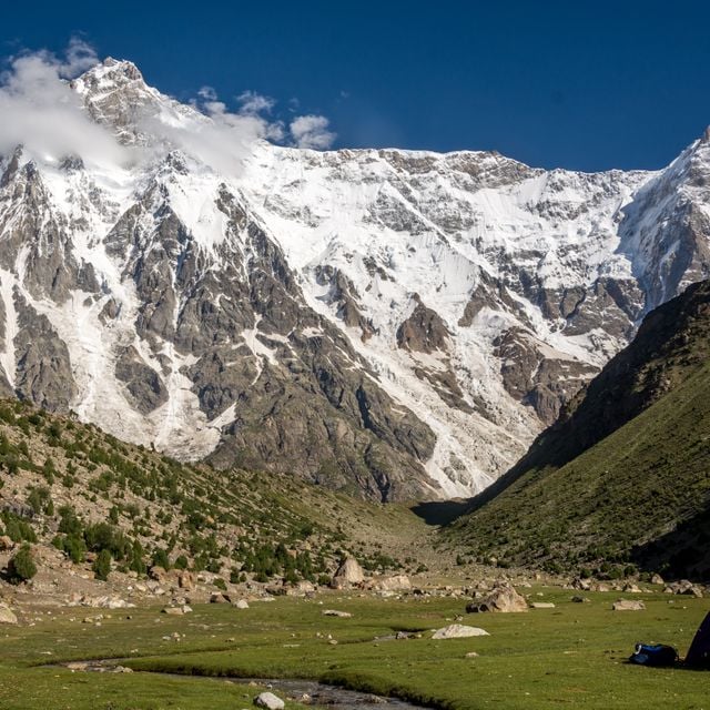
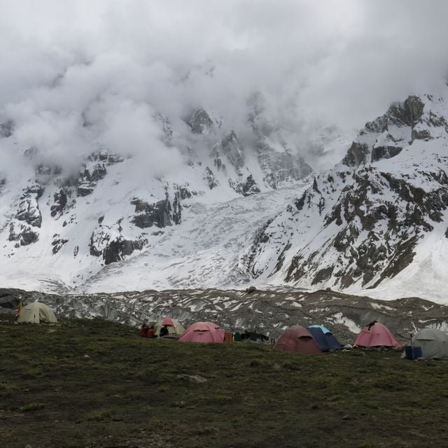
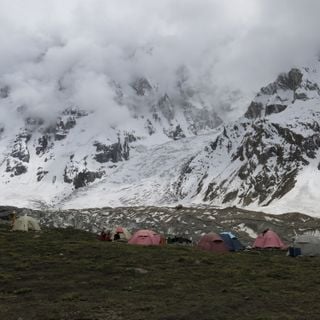
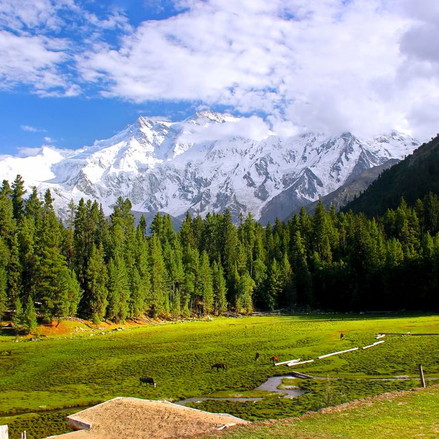
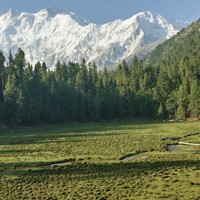
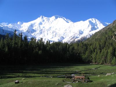
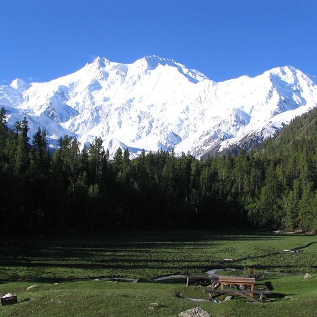
Fairy Meadows National Park is a grassland near one of the base camp sites of the Nanga Parbat, located in Gilgit-Baltistan, Pakistan.

Pakistan 16.6 km
Fairy Meadows
Fairy Meadows National Park in Pakistan
Pakistan 16.6 km
Fairy Meadows National Park National Park

Pakistan 16.8 km
Fairy Meadows National Park
Pakistan 16.8 km
« Nanga Parbat - Mountain in Pakistan » is provided by Around.Us (aroundus.com). Images and texts are derived from Wikimedia project under a Creative Commons license. You are allowed to copy, distribute, and modify copies of this page, under the conditions set by the license, as long as this note is clearly visible.