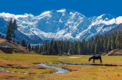
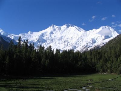
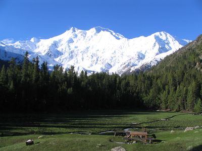
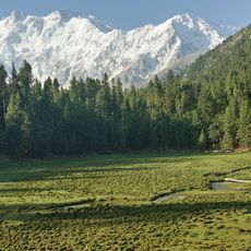
Nanga Parbat, Mountain peak in Gilgit-Baltistan, Pakistan.
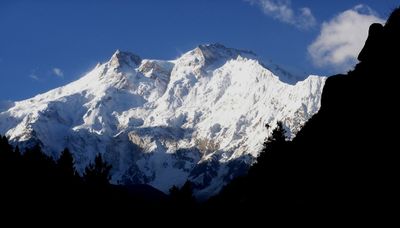
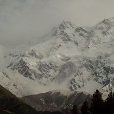
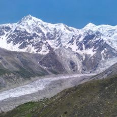
Nanga Parbat is a mountain peak in Gilgit-Baltistan, Pakistan, rising to 8126 meters above sea level. The Rupal face on its southern side forms one of the highest mountain walls on Earth, extending 4600 meters from base to summit.
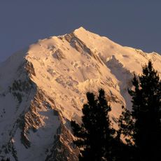
Hermann Buhl reached the summit first in 1953, completing the final ascent alone without supplemental oxygen. Before that achievement, several expeditions had attempted different routes since the 1930s, earning the peak its reputation as one of the most difficult challenges in high-altitude mountaineering.
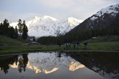
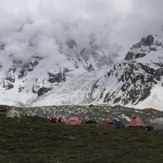
The name translates to Naked Mountain, while local inhabitants refer to it as Diamir, meaning king of mountains in their regional dialect. Expedition teams and climbers from around the world meet local porters and guides here, who have been familiar with conditions on the peak for generations.
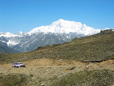
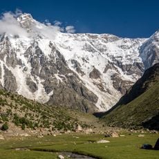
Climbing expeditions take place between June and August, when weather conditions allow reaching higher elevations. Visitors should prepare for extreme cold, sudden weather shifts, and technically demanding sections that require experience in high-altitude mountaineering.
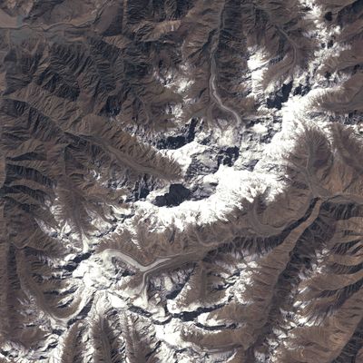
The peak stands independently, separated from the Karakoram range by the Indus River, giving it pronounced geographical isolation. Its western sub-peak is called Rakhiot Peak and forms together with the main summit a distinct double structure visible from the valley.
The community of curious travelers
AroundUs brings together thousands of curated places, local tips, and hidden gems, enriched daily by 60,000 contributors worldwide.